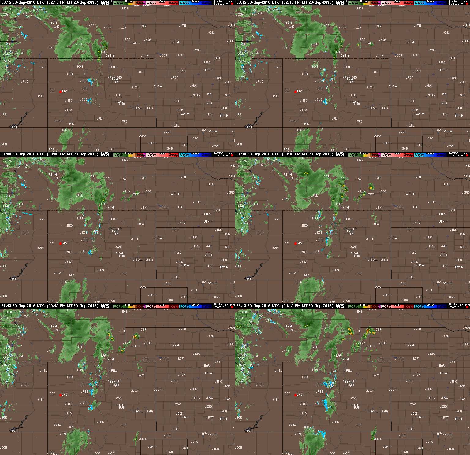
After two straight weeks of mostly sunny and warm conditions, the week ahead will feature quintessential Colorado fall weather. With the passage of two cold fronts, we’ll transition from the 80’s early in the week, through wind, rain and cold…to the potential for snowflakes by week’s end. Continue reading for our complete outlook of the week ahead.
Tag: broomfield (Page 5 of 10)
While the fire ban has been recently lifted in many Front Range counties, September did little to relieve the parched landscape with yet another month of well below normal precipitation. Will October offer up the soaking rain and mountain snow that we desperately need? Read on as we examine Boulder’s climatology and consider the current state of the atmosphere to give our outlook for the next month.
After a cool and “autumn-like” weekend, this week will feature milder temperatures and lots of sunshine, at least through midweek. A fly in the ointment will be a weak system approaching from Baja California which will increase clouds and lead to the chance of isolated rain or storms late in the week. These should be confined mainly to the mountainous areas, however. Read on for our full weekly forecast to end the month of September!
A quick look ahead to the upcoming weekend shows substantial changes to our weather behind a Pacific cold front, including the season’s first widespread mountain snowfall! Read on for our complete weekend weather briefing.
Dry weather has prevailed across northeast Colorado for the last several days, with temperatures moderating from the 60’s to near 90 degrees. This trend continues through much of this week’s forecast as a flat upper-ridge dominates our weather. However, the team-up of a potent trough and the remnants of Tropical Storm Paine will bring chances for rain just in time for the weekend. Read on for our complete weekly forecast.
After a warm final day to the weekend, one which Boulder set a record high at 92 degrees, this week is slated to turn much cooler starting this afternoon. Temperatures will be coolest on Tuesday with highs below seasonal norms and overnight lows falling Tuesday night likely into the lower 40’s on the Plains. This is all in response to a strong cold front pushing south from Wyoming. With the front also comes the chance of rain and storms but these look to be hit or miss through the week. Read on for the week’s forecast in its entirety!
We hope you had a safe and fun holiday weekend. With most of the BoulderCAST team either out of town visiting family or off somewhere exploring the wilderness, we ask that you please excuse the brevity and delay of this week’s forecast. Read on for our short and sweet outlook for the upcoming week.
Sun, heat, wind, and a few storms. Read on as we provide a quick, to-the-point forecast for the upcoming holiday weekend for the Plains and higher elevations.
© 2026 Front Range Weather, LLC


You must be logged in to post a comment.