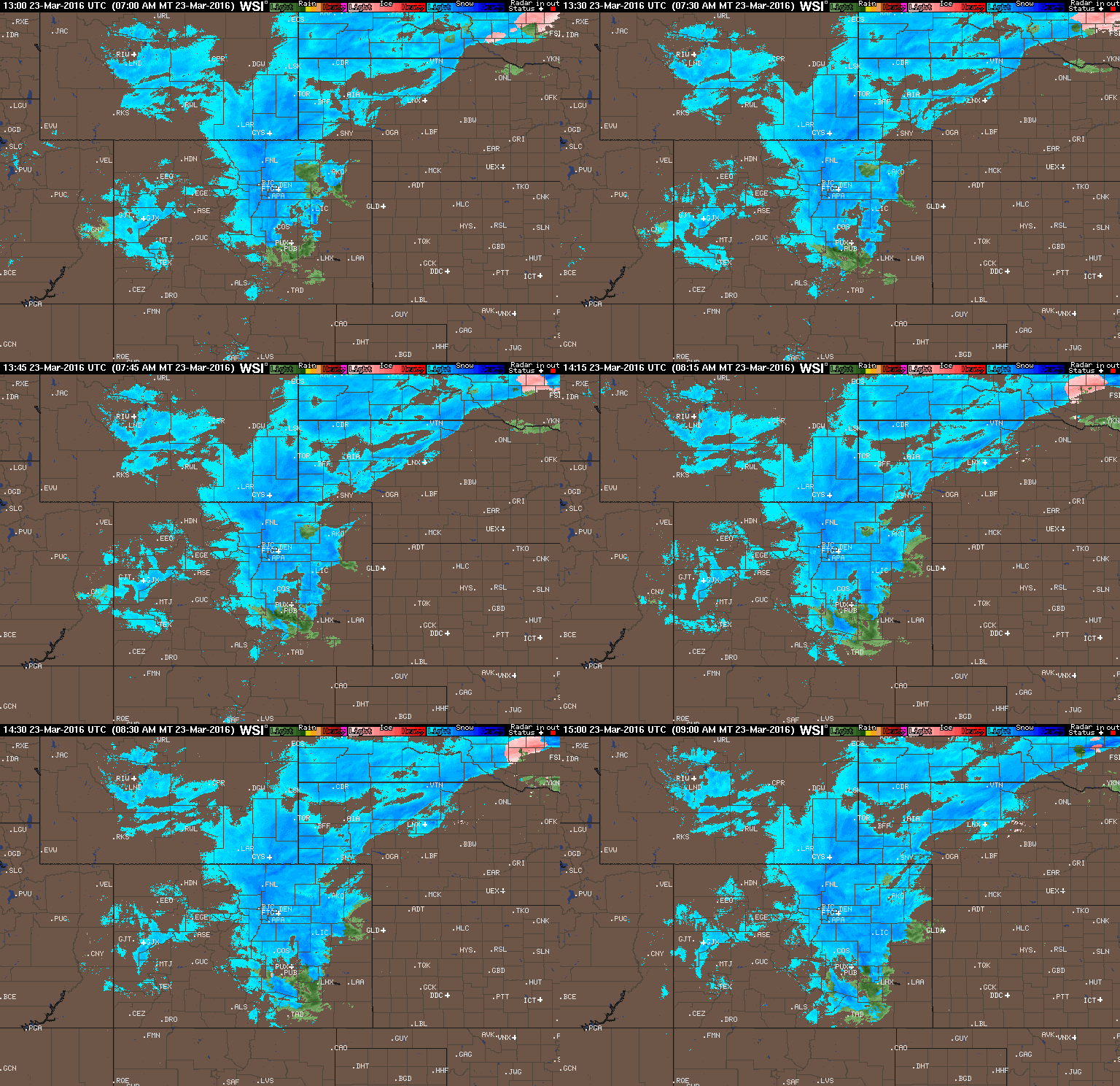
The snowstorm we have been tracking for almost a week now is finally here. Models are consistent in keeping most of the snow to our north, but a little white stuff is still in our future. Read on for our final forecast.
Tag: broomfield (Page 10 of 10)
We hope you had a joyous Easter holiday weekend. The last two weeks have been very snowy across the Front Range, with nearly three feet falling in the city of Boulder. The trend continues for the week ahead as we monitor yet another powerful spring snow storm set to churn across the northern Rockies. Uncertainty is still high, but the chance for significant snow does exist. Continue reading for our full outlook.
A few big changes in the models in the eleventh hour last night brought the threat of heavy snow westward into the Boulder area. How much more is going to fall? Read on to find out.
Great conditions for skiing will continue this week, as well as an active pattern for snow on the Plains. The focus for the week ahead will be a fast-moving system Wednesday, which will usher in below normal temperatures and little bit of white stuff. Beyond that, we’re also monitoring a second chance of snow for the weekend. Read on for our full forecast.
© 2026 Front Range Weather, LLC


You must be logged in to post a comment.