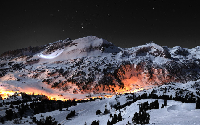
A quick look ahead to the upcoming weekend shows substantial changes to our weather behind a Pacific cold front, including the season’s first widespread mountain snowfall! Read on for our complete weekend weather briefing.
Tag: Boulder (Page 22 of 37)
Thanks to everyone who entered our “First Snow” contest. We briefly review the entries, which surprisingly follow closely with Boulder’s climatology.
Dry weather has prevailed across northeast Colorado for the last several days, with temperatures moderating from the 60’s to near 90 degrees. This trend continues through much of this week’s forecast as a flat upper-ridge dominates our weather. However, the team-up of a potent trough and the remnants of Tropical Storm Paine will bring chances for rain just in time for the weekend. Read on for our complete weekly forecast.
After a warm final day to the weekend, one which Boulder set a record high at 92 degrees, this week is slated to turn much cooler starting this afternoon. Temperatures will be coolest on Tuesday with highs below seasonal norms and overnight lows falling Tuesday night likely into the lower 40’s on the Plains. This is all in response to a strong cold front pushing south from Wyoming. With the front also comes the chance of rain and storms but these look to be hit or miss through the week. Read on for the week’s forecast in its entirety!
We hope you had a safe and fun holiday weekend. With most of the BoulderCAST team either out of town visiting family or off somewhere exploring the wilderness, we ask that you please excuse the brevity and delay of this week’s forecast. Read on for our short and sweet outlook for the upcoming week.
Sun, heat, wind, and a few storms. Read on as we provide a quick, to-the-point forecast for the upcoming holiday weekend for the Plains and higher elevations.
Let us be the first to welcome you to fall! That’s right…summer is no more, at least to us weather folks. September 1st marks the beginning of meteorological autumn. Picture-perfect weather has been a mainstay throughout the summer, which is both good and bad. The monsoon plume has largely been confined to our south and west, keeping the Front Range relatively parched, leading to dry and at times, dangerous fire conditions. Will this trend continue into September? Read on as we examine Boulder’s climatology and consider the current state of the atmosphere to give our outlook for next month.
The atmosphere over the last several weeks has been transient across the western United States, with frequent (but weak) systems always keeping us on our toes. We haven’t had an extended period of persistent weather in quite some time. That changes this week as a ridge builds in across the region, bringing a sense of consistency to the forecast once again. Be that as it may, the ridge won’t bring entirely dry and sunny weather. Read on for our full outlook of the week ahead.
© 2025 Front Range Weather, LLC





You must be logged in to post a comment.