A cold front arrives late morning, bringing a cool down and upslope. Light snow developing by early afternoon in and near the Foothills, persisting into the evening. Several inches of accumulation possible. Continue reading for today’s full forecast.
 DayCAST’s are Premium content. From now until Friday April 1, 2016, all BoulderCAST readers will have access to these daily forecasts. Subscribe to BoulderCAST Premium before April 1st and get 75% off your first month using the promo code SPRING or 17% off your first year with the promo code WEATHER.
——
Today will be our second consecutive day with snow! Woo!
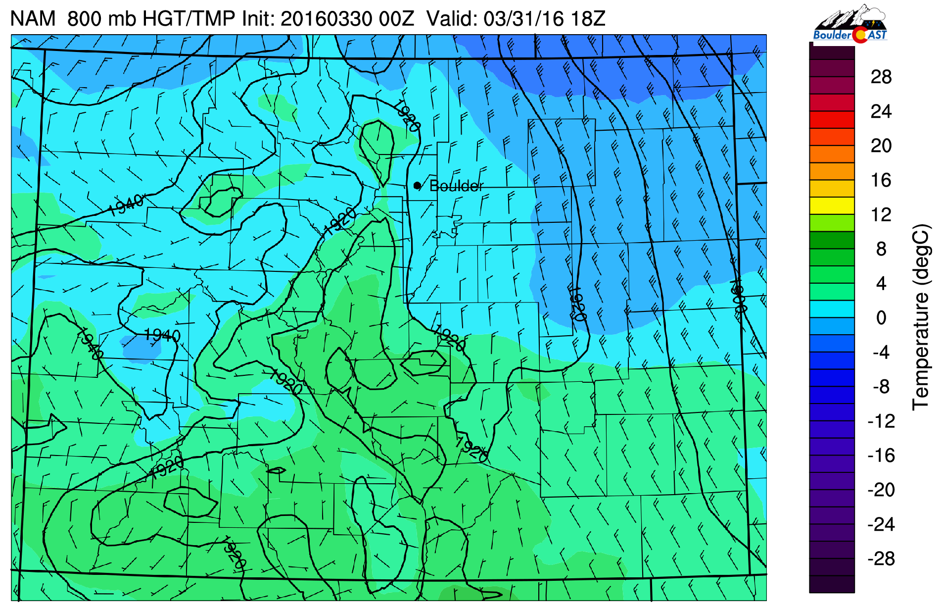
We’re looking at another weak cold front sliding into northeast Colorado later this morning. This push will facilitate several hours of upslope this afternoon. The cold air and upslope are easy to pick-up in the 800 mb forecast map below, valid at noon today.

NAM 800 mb temperature and wind forecast for noon today.
Outside of the upslope, lift for snow is minimal. As such, heading away from the Foothills, snow will be less and less likely. We’re expected 1-2″ in Boulder and nearby Plains, 2-6″ in the Foothills, and less than 1″ in most of the Denver area. Our forecast map posted last night shows this trend nicely.

Look for snow to wrap up later this evening from north to south. In all, not a majorly impactful event. We did warn yesterday that today’s snow could be worse than yesterday. That still looks to be the case, particularly in the Foothills.
Friday will remain cool and mostly cloudy, but sunshine and warmer temps will return for the weekend (and beyond!).


You must be logged in to post a comment.