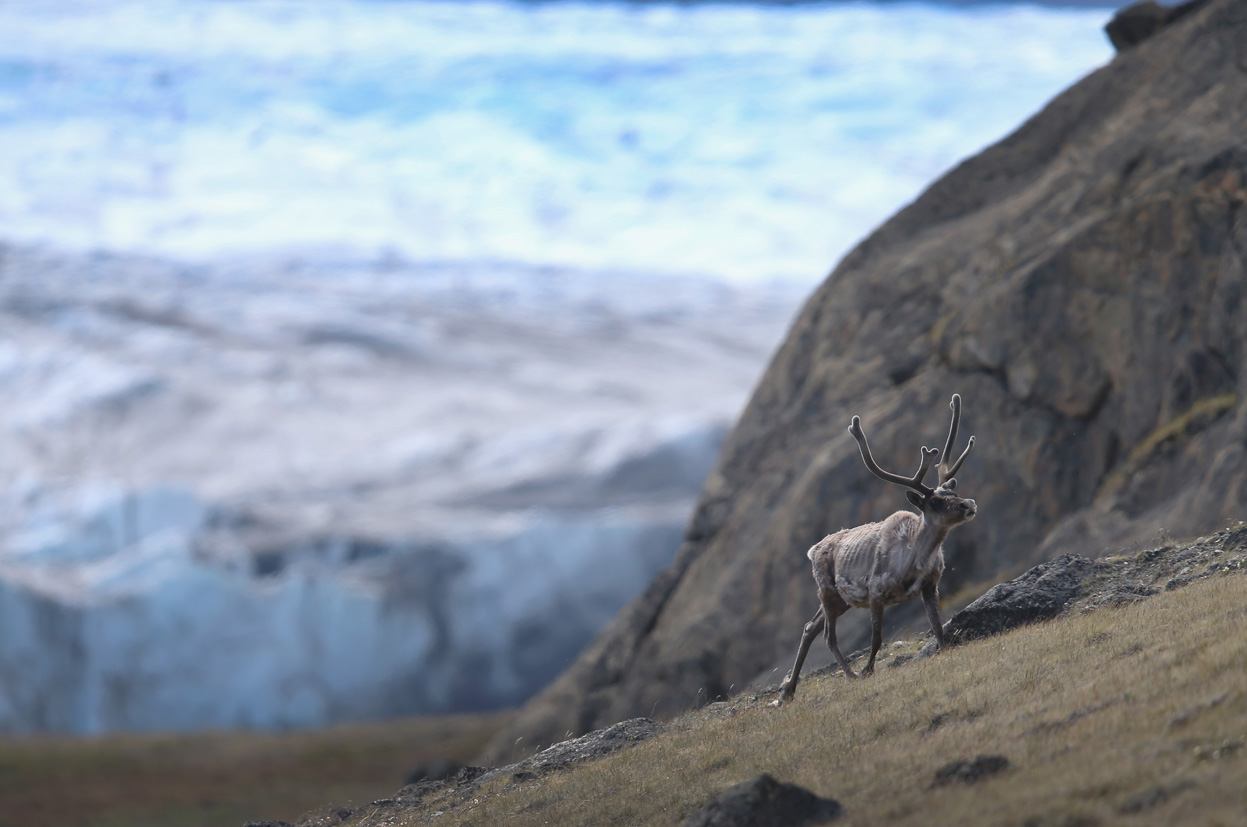
After nearly a week of below freezing temperatures, including a frigid and snowy Thanksgiving, the weather will make a turn for the better during the upcoming week with temperatures rising into the 50’s. Read on to find out when the warm-up arrives!
These posts contain some discussion of the white stuff, whether it be mountain snow pack or a Front Range snowstorm.
After nearly a week of below freezing temperatures, including a frigid and snowy Thanksgiving, the weather will make a turn for the better during the upcoming week with temperatures rising into the 50’s. Read on to find out when the warm-up arrives!
Above shows the snow over Winter Park Ski resort this past weekend due to a large upper-level low pressure system that was rotating over Nevada since last Wednesday. How much snow did the mountains get and what is the PowderCAST outlook for the week ahead? Continue for more details!
The Arctic air and a prolonged period of light snow arrived as projected for America’s day of thanks. And whether you like it or not, it is here to stay for at least a few more days. We briefly recap the storm and discuss how our Thanksgiving forecast played out. We also give you the details on tonight’s snow event.
The Arctic chill and light snow are still on track to impact the region over the next 48 hours, just in time for the Thanksgiving holiday. Read on for details on when and how much snow you can expect!
With Turkey Day nearly upon us, this week’s forecast will feature another chance of snow and our first dose of Arctic cold air. We have high confidence that just about all of Boulder County is in store for a white Thanksgiving. Read on for all the frigid details!
One thing that should be clear after this week’s lack-luster winter storm: a couple of degrees and 25 miles can make a world of difference. While Boulder received just a few wet snowflakes, portions of southern Denver piled up more than a foot of snow. We explain why the situation north of Denver didn’t play out as forecasters were suggesting.
The first major storm is coming together quite nicely. We provide some last minute thoughts on the system eyeing the Front Range, and give our final forecast snow totals for the region.
After a tranquil weekend, the weather pattern turns more active again with our next shot of snowfall this evening into tomorrow morning. This is all thanks to another potent low pressure system coming out of the Eastern Pacific Ocean. How much will we get? What will the rest of the week feature? Read on to find out more details!
© 2026 Front Range Weather, LLC
You must be logged in to post a comment.