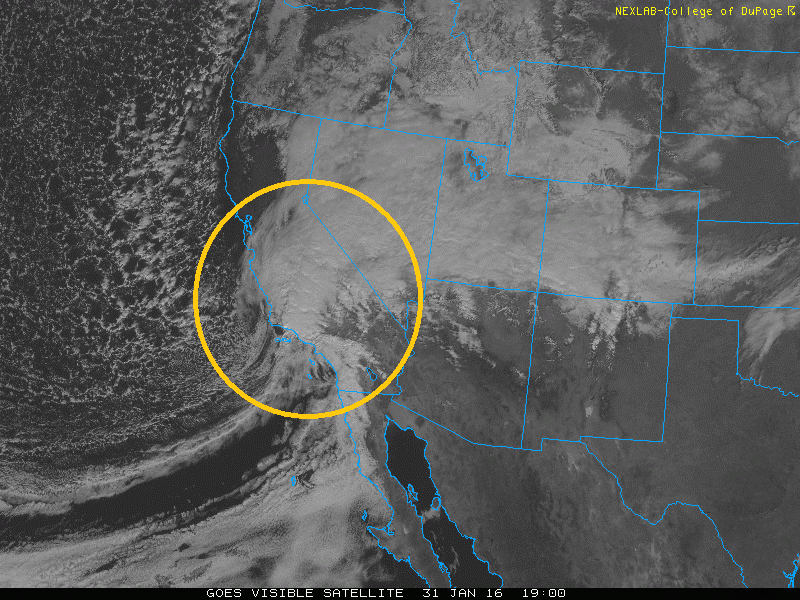
The strong winter storm is still right on track to hit the Denver Metro area and much of Colorado. As we discussed in our previous post, this storm looks impressive and will lead to several inches of snow on the ground by Tuesday morning. In this final update, we provide our snowfall forecast from tonight into Tuesday for Denver, Boulder and the adjacent Foothills.
Category: Uncategorized
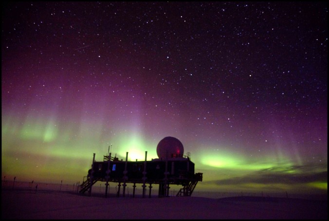
Over the course of my graduate studies at CU Boulder, my atmospheric research has taken me to one of the coldest and harshest places on Earth, central Greenland. I made the trip north four times over the course of just three years, studying cloud formation, snowfall, and weather patterns, among other things. Traveling to Greenland is something few people will ever get the chance (or possibly want) to do. Thus, I would like to share my experiences with you all by retelling my many Arctic adventures.
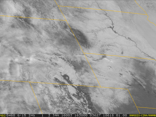
We hope you all had a great holiday to close out the year. Our weather has remained cold, but at least fairly sunny over the last week or so. For the first full week of 2016, the main story will be the arrival of frequent but weak weather systems along the California coastline, each a little more potent than the prior. By the time they arrive in eastern Colorado, they will stripped of most of their moisture and energy, but we may be able to squeeze a few flakes out, even on the Plains. Read on for the details.
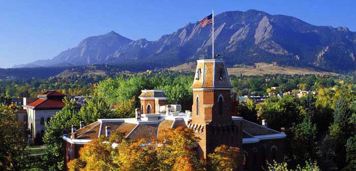
Through October 18th, Boulder is sitting nearly 10 degrees above normal for the month of October. This week will aim to change that trend, with a drastic cool down and the return of precipitation to the region.
After a weak cold frontal passage last evening, we are mostly tranquil for today outside of a few spotty afternoon storms in Boulder County. The weather this week will feature another warmup into the 80’s. By late week, we turn to a cooler and unsettled weather pattern.
© 2026 Front Range Weather, LLC



You must be logged in to post a comment.