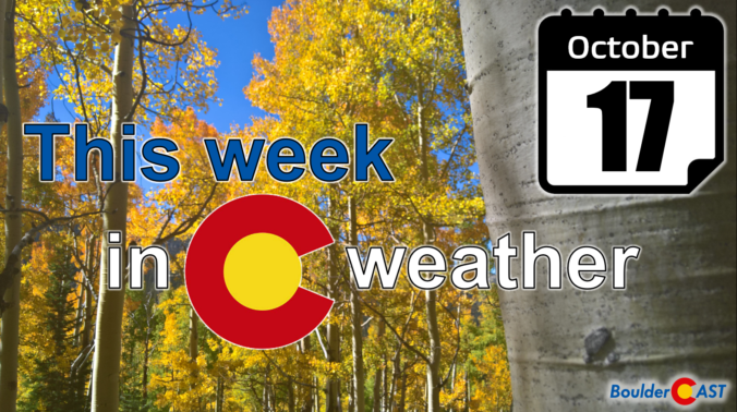
Unfortunately, we’ve got another dry stretch this week across the Front Range. Temperatures will trend warmer each day as a ridge of high pressure to our northwest remains in place through much of the week, possibly getting close to 80 degrees by Thursday and Friday. However, there are strong hints in the guidance that much cooler weather will rear its ugly head late in the upcoming weekend into early next week. This pattern shift may result in a chance of snow for our area, though that remains uncertain for now. Read on for more details.
Category: This Week in Colorado Weather (Page 22 of 68)
These weekly forecast posts are published EVERY Monday morning and provide a general overview of the atmosphere and the weather conditions for the week ahead in Front Range Colorado. We give you a heads-up on the major short-term weather features and anything looming down the road.
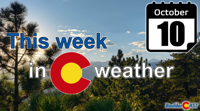
The week ahead will feature persistent northwest flow across the northern Rockies which will keep things sunny, mostly dry and generally mild for us in the Front Range. Overall temperatures will be up and down with the only chance of rain for the week coming late in the day Tuesday. There’s no snow in the pipeline either, but frost will be possible Thursday morning especially in outlying areas. Read on for our complete outlook of the weather week ahead.
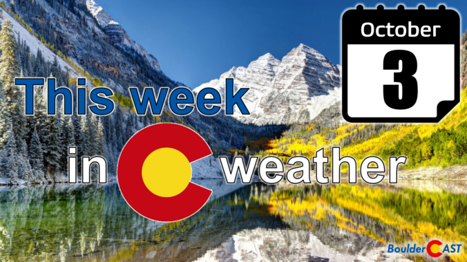
The first full week of October will feature a few cold frontal passages, one in the beginning and another toward the end. Both will be accompanied by the chance of rain showers and below normal temperatures. In between these two systems, drier weather and near seasonal conditions will be the norm under weak ridging aloft. Sorry folks! There’s still no snow nor any freezing temperatures in the pipeline for the Denver Metro area. Read on for more details.
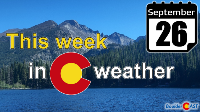
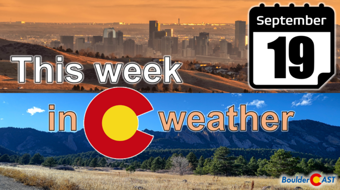
The first full week of autumn will be rather tame across the Front Range. A ridge of high pressure will provide warm and mostly dry conditions through Thursday for the area, but a storm system is eyeing the region Friday into Saturday with rain and some Mountain snow on the way. Read on for all the details.
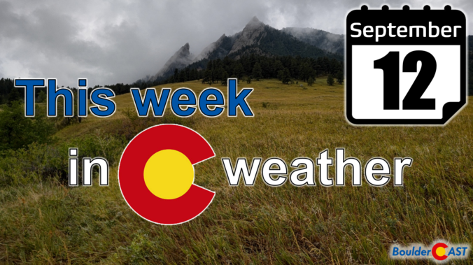
Get ready — we’ll have shades of both summer and fall this week! An anomalous ridge of high pressure over the southern Great Plains will lead to a dry and hot first few days. However, a strong storm system out West and its attendant cold front will bring well below normal temperatures and rain showers Wednesday into Thursday, our first taste autumn perhaps. The late-week period will turn more seasonal for Colorado. Read on for all the details.
After setting multiple record high temperatures during the heatwave last week followed by a pleasantly cooler weekend, this week our temperatures will stay mostly above normal with some chances for rain mixed in as the remnants of Hurricane Kay pass across the Rockies. The week will end warm and mostly dry with that same trend continuing through the upcoming weekend. Let’s take a look at the weather week ahead for the Front Range.
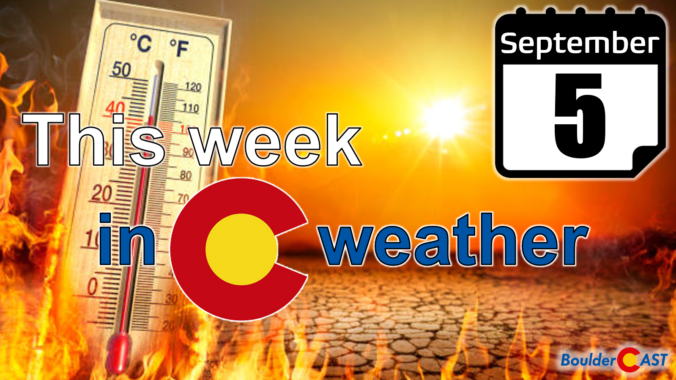
The ongoing brutal heatwave will continue for Labor Day and through the first full week of September. A strong and anomalous ridge parks itself over the Utah region through Thursday resulting in hot and dry weather in the 90s across the Denver area. Record highs are likely under this setup and we may even see some triple digits at times as well. The light at the end of the tunnel is a welcomed cold front currently scheduled to arrive on Friday.
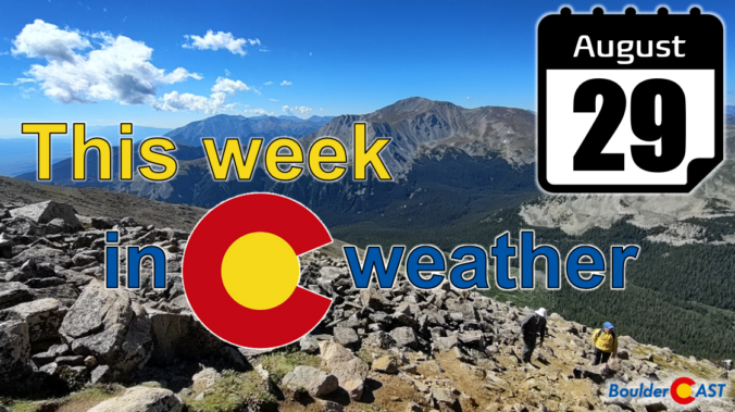
After a couple cooler weeks, a new ridge of high pressure will form over Utah and dominate the extended forecast across the Front Range leading to a lengthy stretch of 90-degree days accompanied by little to no rainfall. The upcoming Labor Day weekend looks pretty nice across the area as the warmth continues but with some storms popping up in the Mountains. Let’s take a look at the weather week ahead.

Live View of Boulder

Current Conditions

Live Radar

Recent Premium Posts

BoulderCAST Daily – Sun 01/11/26 | A mild Sunday with readings reaching the 50s
🌤️ Mild & Melty Sunday: Light winds and patchy clouds, with lingering snowpack …
BoulderCAST Daily – Sat 01/10/26| Widespread sunshine and moderating temperatures this weekend as our recent snow melts off
🌤️ Calm Saturday: Winter storm systems have departed the state, leaving behind a …
BoulderCAST Daily – Fri 01/09/26| Snow ends quickly this morning with a quieter weekend in store
❄️ Overnight snow bands: A second push of upslope after midnight sparked narrow …
3-Day Forecast

Trending Content

© 2026 Front Range Weather, LLC