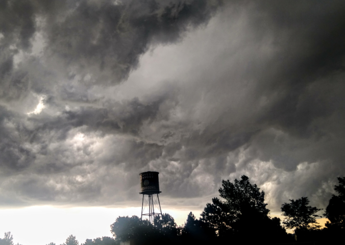
Get ready for round two of severe weather late Friday afternoon into the evening hours with large hail the primary threat to end the week. We also discuss the weekend forecast which includes plenty of storms and the potential for more hail.
Category: Severe Weather (Page 16 of 20)
The posts contain discussion of severe weather in our region, including forecasts, outlooks, and recaps of events involving large hail, damaging winds, and tornadoes.

Following a very warm end to June, the first week of July will continue the hot trend but also blend in late-day thunderstorms typical for this time of year. Read on for more details, including the outlook for the Fourth!
Following a record-setting cold weekend to kick off summer, temperatures are headed upwards with most Front Range cities likely to see a string of several 90-degree days later this week.
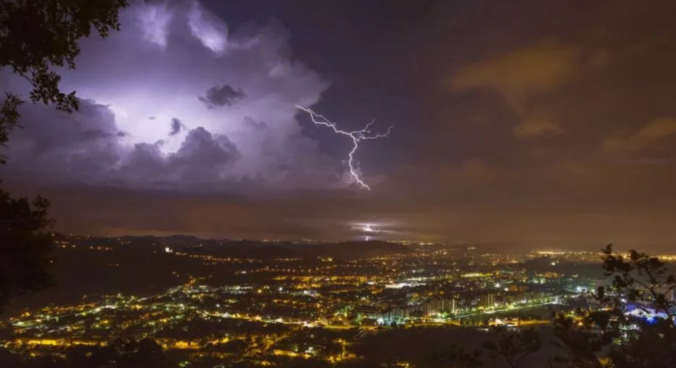
The next several days are going to be unseasonably cool and active across the Front Range. We discuss the outlook for large hail and tornadoes Friday afternoon, accumulating snow in the Mountains, the potential for flooding, and the gloomy weather sticking around for the weekend. Yes…all of that!

Though the middle of June is typically a quiet time of year for the Front Range, that won’t be the case this week with widespread showers and thunderstorms to begin the week, including the threat for large hail. The rest of the week will be warmer, but not necessarily dry either.
A cool and dry Canadian airmass will lead to pleasant conditions for the first half of the week. However, moisture and storm chances increase by Thursday and continue right into the upcoming weekend.
A persistent and slow-moving cutoff low pressure system will lead to scattered daytime thunderstorms through Wednesday, with gradual drier and summer temperatures taking hold by the end of the week. Read on for more details.
This week’s Front Range weather headline is yet another late-season spring storm system moving directly across Colorado on Tuesday. This will lead to a couple of very chilly days and more widespread rainfall and clouds for the Metro area. We’re even still talking about snow in the Foothills just west of Boulder. While conditions will improve as the week progresses, the chance of rain remains each day. Read on for our complete forecast of the shortened work-week ahead.

Live View of Boulder

Current Conditions

Live Radar

Recent Premium Posts

BoulderCAST Daily – Thu 11/27/25 | A sunny Thanksgiving, plus an update on the cold/snow brewing for the weekend
🌞 Thanksgiving Day: Calm, sunny weather statewide under high pressure; highs 49–54°F across …
Flash Sale: Winter is back! Save 30% Through Monday December 1st Only!

Winter Weather Update: Historic snow drought likely comes to an end during what will be a bitter cold holiday weekend in the Front Range
After weeks of unseasonable warmth, the Front Range is staring down its first …
3-Day Forecast

Trending Content


© 2025 Front Range Weather, LLC