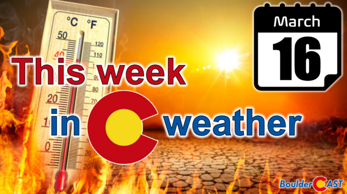
Colorado may be easing into the week on a calm, cool note, but the atmosphere has no intention of staying quiet — and the shift ahead isn’t the one you might expect. While a major storm system pounds the eastern half of the country, a powerful ridge is quietly taking shape off the West Coast, ready to drive an exceptional, record‑shattering March heatwave straight into the Front Range. With gusty downslope winds on the way and the strong likelihood of multiple all‑time records falling, this week is all about the heat. How hot will it get and when will the heatwave end? Let’s take a look.
Category: Severe Weather (Page 1 of 21)
The posts contain discussion of severe weather in our region, including forecasts, outlooks, and recaps of events involving large hail, damaging winds, and tornadoes.
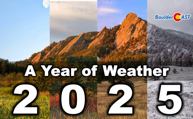
2025 was one of those years where Boulder’s weather never seemed content with a single storyline. We opened with a bitter Arctic punch that delivered our coldest January in nearly two decades, only to swing into a summer packed with 90°+ heat, smoky afternoons, and the hottest day since 2012. The monsoon showed up often but rarely with much enthusiasm, fall dried out in a hurry, and our first snow didn’t arrive until November 29th — the latest on record by a country mile. Now that the dust (and smoke, and snow) has settled, we’ve pulled together a full graphical recap of the temperature swings, precipitation quirks, record‑setting moments, and long‑term trends that defined Boulder’s and Colorado’s atmosphere in 2025. If you want the full story behind the chaos — and a clearer picture of where 2025 truly landed — this is a fun one to dive into. Be warned, there really are 100 charts and visuals to explore. Enjoy!
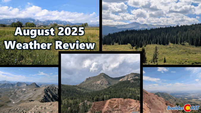
August 2025 was on track to be our third scorcher in a row — hot, dry, and smoky — until a late-month shift brought in a welcome stretch of cooler, wetter weather. That pattern change helped balance things out across the Front Range, with most areas landing close to average for rainfall and just slightly warmer than normal overall. Still, it wasn’t all relief: the month packed in plenty of wildfire smoke and a few record-breaking heat days that served to remind us that summer wasn’t done yet. Here’s a quick and colorful graphical recap of our weather during August and how it relates to climatology.
NOTE: This monthly recap was delayed due to missing data in the August 2025 climate record for Boulder which has since been partially filled with best-guess approximations.


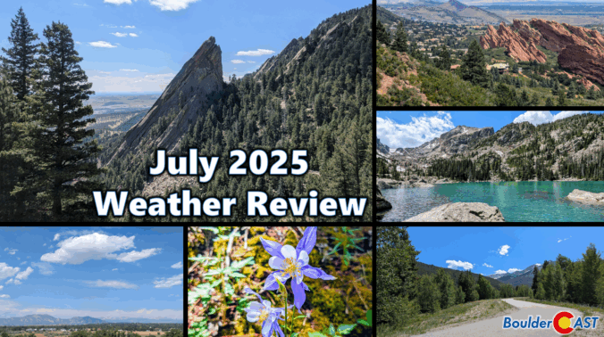
July 2025 was our second consecutive hot and dry month. The summer monsoon has been very stingy so far, leaving Boulder and much of the Denver region parched with drought conditions returning to parts of the Front Range. July didn’t hold back on extremes either: record-breaking heat at times scorched the region, plowable hail hammered Gunbarrel, and a rare funnel cloud spun up over the Foothills of Boulder County. Here’s a quick and colorful graphical recap of our weather during July and how it relates to climatology.

Live View of Boulder

Current Conditions

Live Radar

Recent Premium Posts

BoulderCAST Daily – Wed 04/01/26 | The first day of April is showery, with even a few isolated storms
⛈️ Wednesday the 1st of April is showery: a shortwave brings scattered to …
BoulderCAST Daily – Tue 03/31/26 | The Great March 2026 heatwave is over with cooler, showery days ahead in the Front Range
🌬️ Heatwave broken: a pre‑dawn cold front will be keeping today’s highs near …
BoulderCAST Daily – Sun 03/29/26 | Staying warm prior to a cold front Tuesday
🔥 The low 80s continue through Monday, as ridge remains in place. 🌨️🌧️ …
3-Day Forecast

Trending Content

© 2026 Front Range Weather, LLC