

Category: Premium Content (Page 51 of 450)

This content is for Premium Members only.
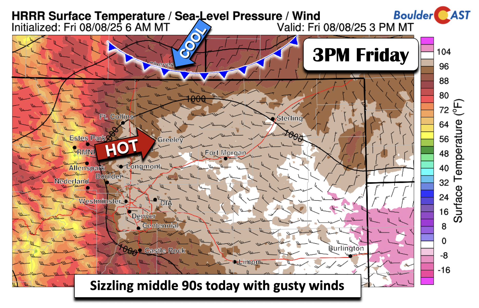
Premium BoulderCAST Daily – Fri 08/08/25 | Middle 90s and gusty today

Another record high was achieved in Boulder yesterday, hitting a blistering 100°F in the late afternoon, breaking the previous record of 99°F set back in 1995. In fact, this is the first summer with multiple 100+ degree days since 2012.   We have a few headlines today, including Red Flag Warnings over the mountains and Foothills, and a Heat Advisory …

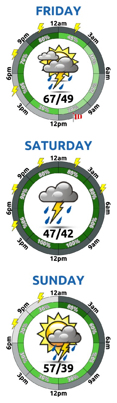
Premium This Weekend in Colorado Weather: Scorching heat & increased fire risk give way to a cooler weekend with chances for rain

Today’s shaping up to be the hottest day of the week across the Front Range, with temperatures flirting with the 100°F mark. A strong high-pressure system parked over New Mexico continues to pump in very warm west-southwest flow into Colorado. That flow has just enough mid-level moisture to spark some standing wave clouds over the lee side of the Front …

Premium BoulderCAST Daily – Wed 08/06/25 | Record high observed in Boulder Tuesday as the heatwave rolls on

Boulder kicked off the week with a bang on Tuesday, hitting a sweltering 99°F in the late afternoon, breaking the previous record of 98°F set back in 1979. Most of the Metro area wasn’t far behind—Denver topped out at 98°F, just three degrees shy of its own record. If you’ve been hoping for a cooldown, don’t hold your breath just …

Premium BoulderCAST Daily – Tue 08/05/25 | Sizzling heat holds steady through Friday as new fires emerge on the Western Slope

We’re kicking off the day on a cooler note—temps are hovering near 60° this morning—but don’t let that fool you. It’s shaping up to be another scorcher across the Front Range. Infrared satellite imagery shows a thick blanket of mid-level wave clouds overhead, giving us gloomy skies early on. As the jet streak and its narrow moisture band slide southward, …

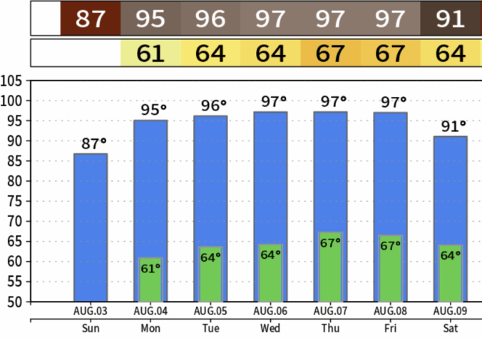
Premium BoulderCAST Daily – Sun 08/03/25 | A relatively cool and calm day before an impending prolonged heatwave

Astrong mid-level ridge parked over Baja is starting to stretch its influence toward Colorado, and it's bringing some serious heat with it. As this ridge slowly drifts northeast over the next few days, expect a major shift in our weather pattern—hotter, drier, and potentially record-breaking. But for today (Sunday), we get a brief reprieve. A weak front slipped through overnight, …

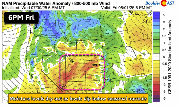
Premium BoulderCAST Daily – Sat 08/02/25 | Storm chances very low as high creep back to the 90s

Moisture levels will dip below seasonal levels today as westerly downslope flow continues to build eastward from Friday. An area of low pressure over the Dakotas will favor a lee trough pattern, with sinking motion on the Plains and rising motion over eastern Colorado and western Kansas. As a result of the warming and drying, our highs should get back …

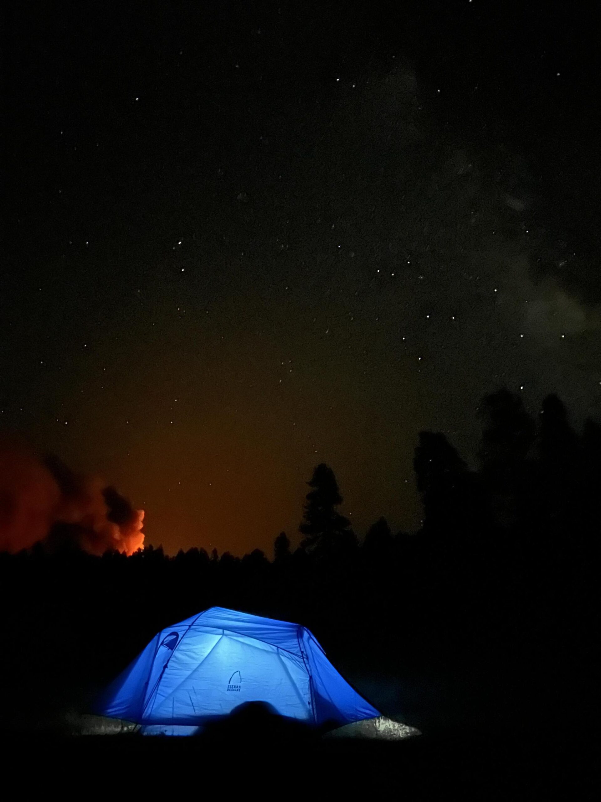
Premium BoulderCAST Daily – Fri 08/01/25 | Smoky skies and less storms

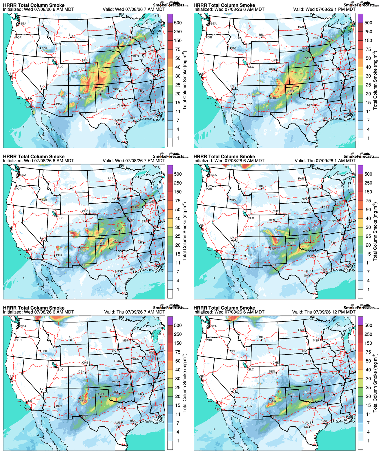
Smoky skies will persist and get worse today as wildfire smoke from Utah and Arizona rages northeast into the state. The total column smoke values, above at least 50 mg/m2, cover nearly all of Colorado today. Don't expect any improvement in air quality unfortunately. Below shows a picture of the fire in the distance at night, courtesy of InciWeb, from …

« Older posts Newer posts »