Category: Premium Content (Page 191 of 451)

This content is for Premium Members only.
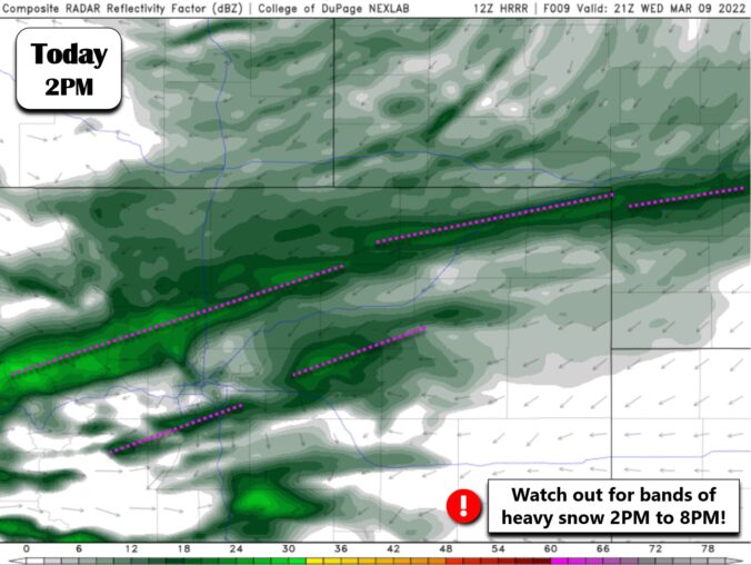
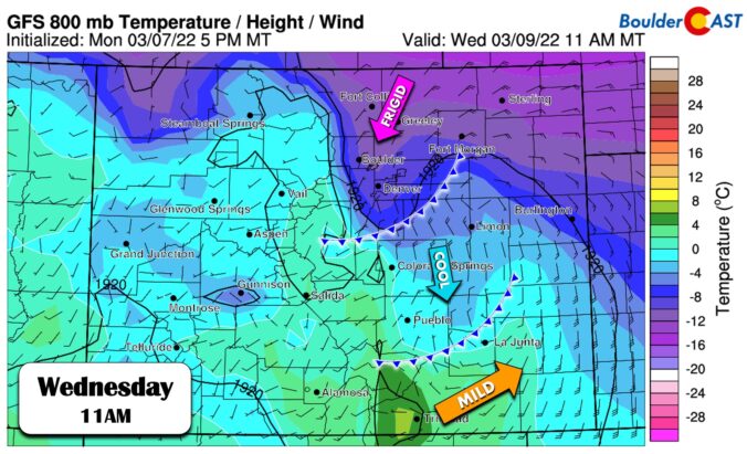
Premium Storm Update – Wed 03/09/22 7:00 AM | Falling temperatures with snow through the day into tomorrow

The leading edge of the Arctic airmass moved through overnight around 3:30AM into Boulder. Temperatures have dropped from the 20's into the teens and light snow has developed across northern areas of the Front Range. Currently most of us are in the upper teens and it won't get much warmer than this today as the cold airmass continues to tighten …

BoulderCAST Daily – Tue 03/08/22 | Fairly pleasant today but back to the Arctic tomorrow

Atranquil day is expected today as we'll be in-between storm systems for an ever-so-brief moment in time before the next Arctic blast arrives tomorrow. Dry and weak northwest flow will keep partly to mostly sunny skies around through the day with light winds. Today will be the nicest day of the week --- if you have any errands to run …

BoulderCAST Daily – Sun 03/06/22 | Light snow tapering off late tonight

Storm #2 is already in progress and will be with us for the majority of the day and evening. A mid-level low pressure system will track along southern Colorado, eventually ejecting eastward into Kansas late tonight. At 700 mb (below), while the flow is not ideal with the southerly flow, there is plenty of cold air to work with and …

Premium Storm Update – Sat 03/05/22 7:30 AM | Scattered snow showers today, widespread light snow develops tomorrow

Storm #1 has mostly been a bust for the lower elevations with much less precipitation than expected occurring so far. We've saw just a few rain drops in Boulder last evening, but nothing much else overnight. There was a little bit of snow in southern Denver, but it only really amounted to a dusting. The current radar animation below shows …

BoulderCAST Daily – Fri 03/04/22 | Scattered to numerous rain showers transitioning to snow early Saturday

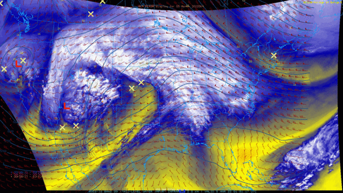
Strong forcing for ascent will be present across eastern Colorado this evening into early Saturday morning as a strong trough, centered over south-central Utah, ejects to the northeast tonight into early Saturday. Ahead of the trough, strong mid-level lift will be found over the Front Range, along with an anomalous moisture source. We won't show it, but the upper-levels shows …

Weekend Weather Snapshot: March 3, 2022

Today will likely be the warmest day of the week as the ridge axis passes directly overhead during the day. The GFS 500mb forecast map below shows the center of high pressure over the Texas Panhandle, with the axis extending northward through the Denver area by midday today. Warm air advection will reign king with southerly or southwesterly flow across …

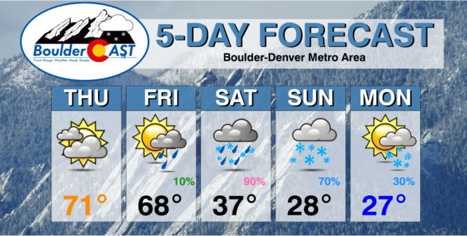
BoulderCAST Daily – Wed 03/02/22 | Lower 70’s & beautiful, but tracking rain/snow for much of the weekend ahead

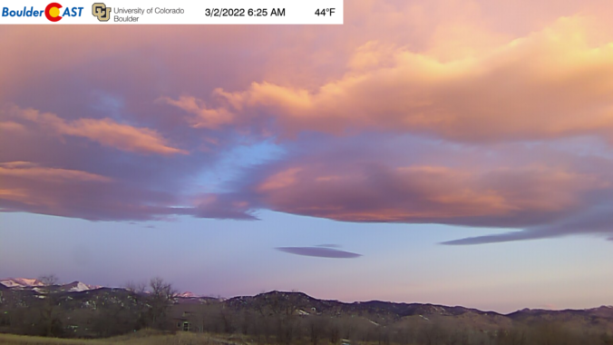
The mid-level ridge continues to hold strong over the Rockies with an axis just to our west near Salt Lake City this morning. This will lead to continued warm conditions across the Front Range today through Friday as the ridge slowly shifts eastward. There are a few wave clouds around this morning as noted on our webcam: However, mostly sunny …

« Older posts Newer posts »