

Category: Premium Content (Page 186 of 451)

This content is for Premium Members only.
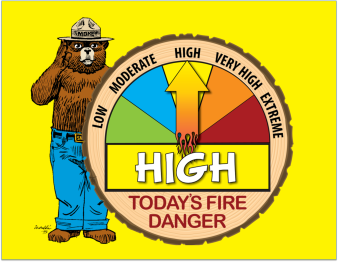
BoulderCAST Daily – Wed 04/20/22 | Mild & mostly sunny with afternoon breezes elevating fire danger

Acold front moved through overnight and as a result, we'll be slightly cooler today with highs comfortably in the lower 70s. The first trough of the week has pushed east of Colorado and in its wake, sunny skies have taken over. This sunshine will be with us for a few days as the next shortwave ridge passes through. The GOES-East …

BoulderCAST Daily – Tue 04/19/22 | Breezy & warm with elevated fire danger

Winds ramp back up today as the next storm system approaches during the day and slides across the northern Rockies tonight, largely missing Colorado in the process and producing just zonal downslope flow across the Front Range. Winds won't be too bad today, but west wind gusts of 20 to 25 MPH are expected from late morning into the early …

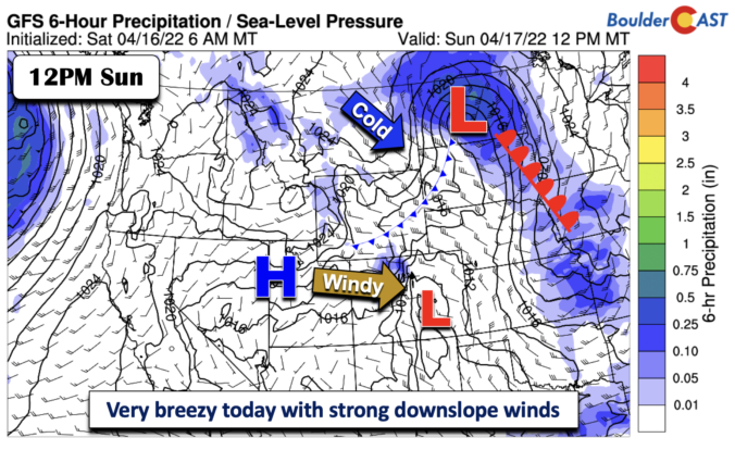
BoulderCAST Daily – Sun 04/17/22 | Very breezy conditions make for another elevated fire danger

Astrong jet streak will be nearly orthogonal to the north-south Rocky Mountain range of Colorado today. The jet streak will be pushing some near 110+ mph winds from west to east toward the Plains. This will favor a strong downslope flow this afternoon, creating elevated fire concerns - yet again! Until we can get some measurable precipitation, any windy and …

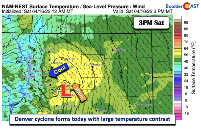
BoulderCAST Daily – Sat 04/16/22 | Denver cyclone and front favors large temperature contrast and visibility issues

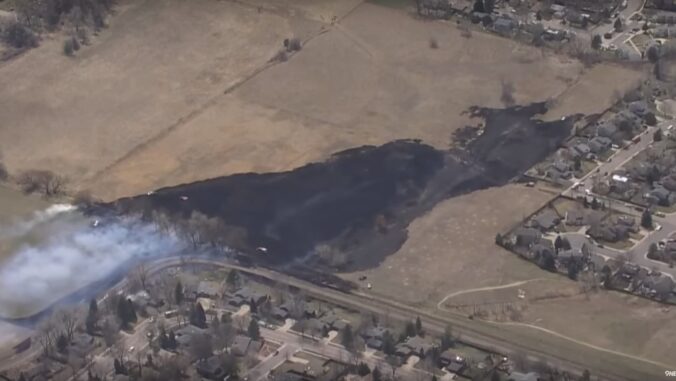
Asmall fire developed yesterday northeast of Lyons, with the figure below from the Daily Camera showing the smoke. An Air Quality alert has been issued for Boulder County as a result today. Reduced visibility will be in place over the Boulder area and nearby Foothills. The 24-hour temperature change earlier this morning indicates that much of the Front Range was …

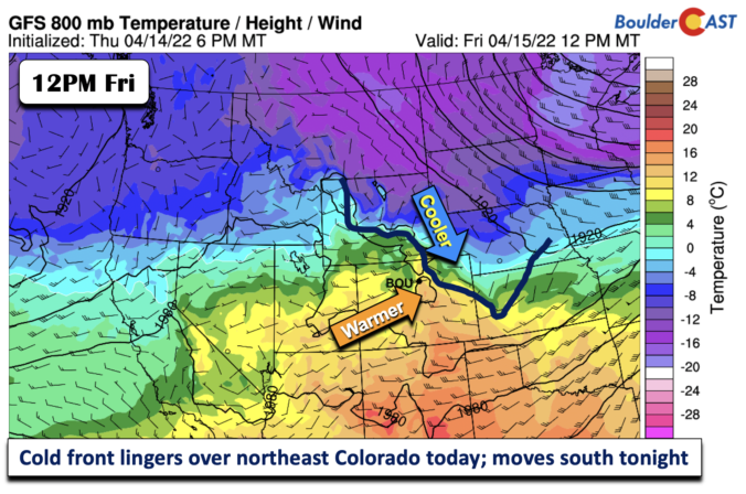
BoulderCAST Daily – Fri 04/15/22 | Gusty west winds today, then cooler tonight behind a front

Westerly flow persists today, with yet another gusty afternoon. Although, today's winds will be less than yesterday between 30-35 mph. Expect also some mid and high clouds moving from west to east through much of the day. The Red Flag Conditions are largely along/south of I-70 and over southern and southeastern sections of Colorado. Outdoor burning remains strongly discouraged. There …

BoulderCAST Daily – Thu 04/14/22 | Elevated fire danger with another breezy day

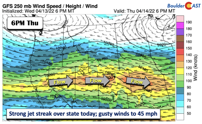
Astrong upper-level jet streak will be directly perpendicular to the mountain range today, with speeds up to 140 mph! The flow pattern is indicated below, with cross-barrier flow developing on the Plains this afternoon. Wind gusts develop today as a result, creating critical fire conditions once again. Today will be noticeably warmer than yesterday, as the cold air retreats to …

BoulderCAST Daily – Wed 04/13/22 | Surprise record cold this morning with gusty winds & isolated snow showers later today

We're starting off this morning with definitively winter-like readings across the region. Skies have cleared. Winds have relaxed. And temperatures have plummeted as a result! We're currently sitting at 13°F at BoulderCAST Station --- a value that would break Boulder's all-time daily record low for April 13th set back in 1959 (14°F). Denver has already been reported to have tumbled …

« Older posts Newer posts »