


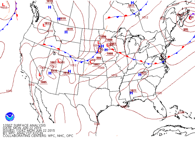
After a very hot and dry stretch of weather across the Front Range for the last several days, we will be a tad cooler with the chance of rain returning by mid-week.
Category: Forecast (Page 194 of 198)
We are now approaching the two month mark of a very active weather pattern across Colorado. However, this week looks to be quieter as the main storm track finally shifts to our north.

Why was last week’s severe weather outbreak historical? Which of the hosts inadvertently went storm chasing? Why does the Storm Prediction Center denote “hen egg” and “teacup” sized hail? Listen to find out!
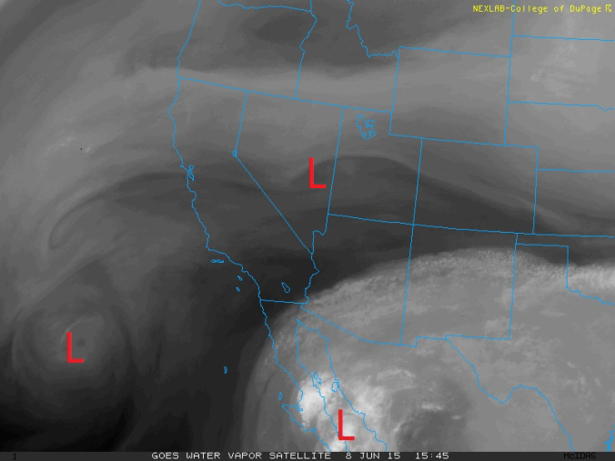
After a weak cold frontal passage last evening, we are mostly tranquil for today outside of a few spotty afternoon storms in Boulder County. The weather this week will feature another warmup into the 80’s. By late week, we turn to a cooler and unsettled weather pattern.
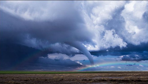
With the passage of a cold front this morning, the atmosphere will be primed for severe weather in Boulder County on both Wednesday and Thursday, with the greatest threat being large hail and tornadoes. Read on to find out when you should keep an eye to the sky.

Did Matt actually beat anyone in the Bolder Boulder? How many tornadoes have the hosts encountered? When will Boulder finally return to 80 (or maybe even 90) degrees? Listen to find out!
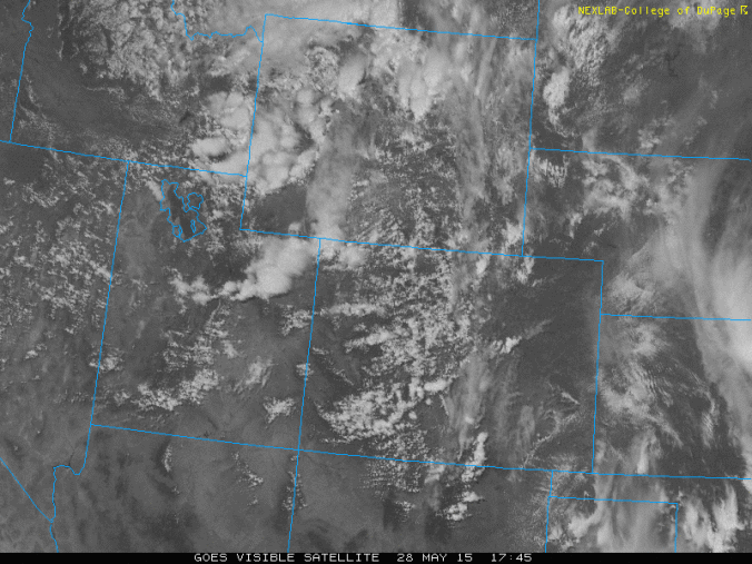
The weekend forecast: Storms followed by 80’s
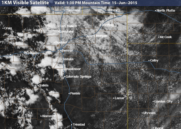
Greetings Boulderites! After some dry days for the beginning of this week and highs rebounding into the upper 60’s and middle 70’s Monday through Thursday, we turn to yet another wet weather pattern to end the week. The visible satellite image above shows an upper-level low pressure system centered over northwestern Wyoming as of this afternoon. This system, along with a cold front, will be the major weather player for tomorrow and Saturday. We take a look at this system and the warmup later this weekend.
Live Radar

Trending Content


Recent Premium Posts

BoulderCAST Daily – Wed 11/11/26 | Mild Days Ahead, But There Are Signs of a More Active November Soon
☀️ Warm & Quiet — Sunshine dominates through Thursday with highs rising from …
BoulderCAST Daily – Tue 11/10/26 | Clouds Increase Today, But Colorado’s Dry Pattern Rolls On
🌤️ A Few More Clouds Today – Mountain wave clouds are developing along …
BoulderCAST Daily – Sun 11/08/26 | Mild November Weather Continues, Even With A Cold Front Midweek
☀️ Sunny and warm for early November – Temperatures in the middle to …
© 2026 Front Range Weather, LLC