Category: BoulderCAST Daily (Page 284 of 466)

This page contains an index of our BoulderCAST Daily forecast updates. If you are NOT a Premium member, you will only see a tiny sample of this content below. Subscribe to BoulderCAST Premium to gain access to all of our daily forecasts which get published every morning.
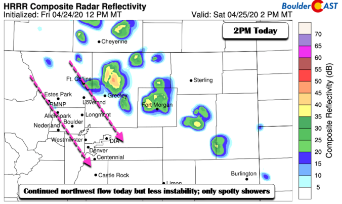
BoulderCAST Daily – Sat 04/25/20 | Slight chance of showers and warmer

Detailed Forecast Discussion: After some brief morning showers to start the day, clouds will decrease into the early part of the afternoon and allow for highs to reach the lower 60's. There will still be a chance of spotty afternoon showers with daytime heating as we are still in the northwest flow. However, we will be overall dry for the …

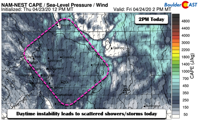
BoulderCAST Daily – Fri 04/24/20 | Showers today, gone Sunday

Detailed Forecast Discussion: We have two weak shortwaves passing through in the northwest flow over the next 24 hours. The first wave has pretty much moved through, trekking by early this morning (below left). A second wave tracks through overnight tonight into Saturday morning (below right). Both of these shortwaves will focus the area with isolated to scattered afternoon/early evening …

BoulderCAST Daily – Thu 04/23/20 | Showers possible today and tomorrow

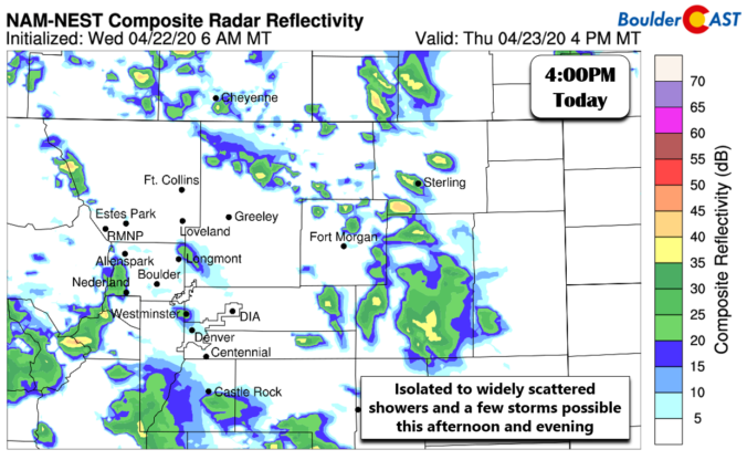
Detailed Forecast Discussion: Another day of spring weather is expected for the region with temperatures in the 60's. Little has changed since yesterday with northwest flow continuing to pass across Colorado. There is just enough moisture present for diurnal showers to kick-off over the area. CAPE values this afternoon increase above 400 J/kg north and east of Denver and in …

BoulderCAST Daily – Wed 04/22/20 | A seasonal day, but turning more unsettled soon

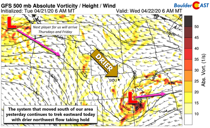
Detailed Forecast Discussion: Today will be the nicest day of the week as we get a brief reprieve from the onslaught of weak shortwave disturbances flowing in from the Pacific Ocean. Yesterday's system has already pushed out of our forecast domain and is located over the Texas Panhandle this morning. Drier northwest flow and large-scale subsidence will be the story …

BoulderCAST Daily – Tue 04/21/20 | A small chance of late day storms

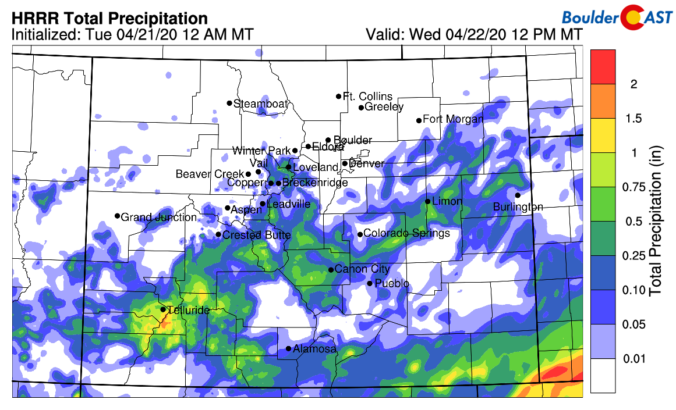
Detailed Forecast Discussion: As we discussed in our weekly outlook yesterday, the Front Range sits in a split-flow pattern early this week, resting comfortably between the subtropical jet to the south and the polar jet to the north. However, embedded in the larger flow is a series of shortwave disturbances moving across the Great Basin and Four Corners regions as …

BoulderCAST Daily – Sun 04/19/20 | Highs close to 60

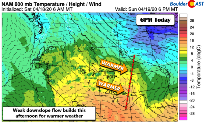
Detailed Forecast Discussion: Thanks to a weak downslope flow setting up today (below), westerly winds will slowly develop to help create a warm-up for the Plains. Gusty winds will develop along the Foothills but never really reach the metro area. After some morning sunshine, afternoon clouds will rebuild back in similar to our Saturday. Highs should rise to the upper …

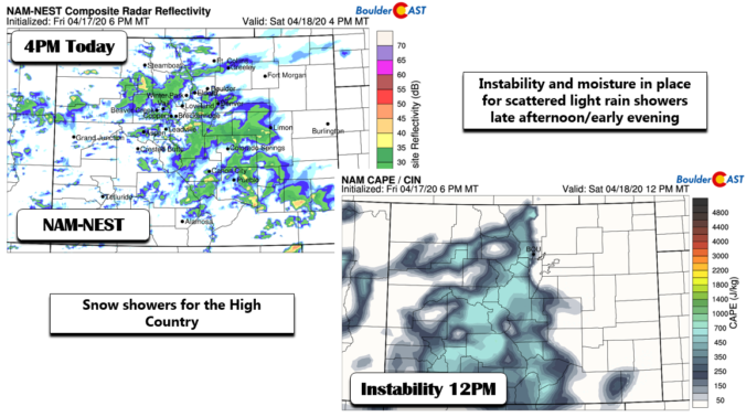
BoulderCAST Daily – Sat 04/18/20 | Warmer but cloudy

Detailed Forecast Discussion: Today we will see a warmup for most of us, albeit with less sunshine compared to our Friday. As we mentioned yesterday, there is a quick moving weak area of low pressure off to our south today. While its impact will be marginal in our neck of the woods, it will help seed and kick off scattered …

« Older posts Newer posts »