Category: BoulderCAST Daily (Page 276 of 466)

This page contains an index of our BoulderCAST Daily forecast updates. If you are NOT a Premium member, you will only see a tiny sample of this content below. Subscribe to BoulderCAST Premium to gain access to all of our daily forecasts which get published every morning.
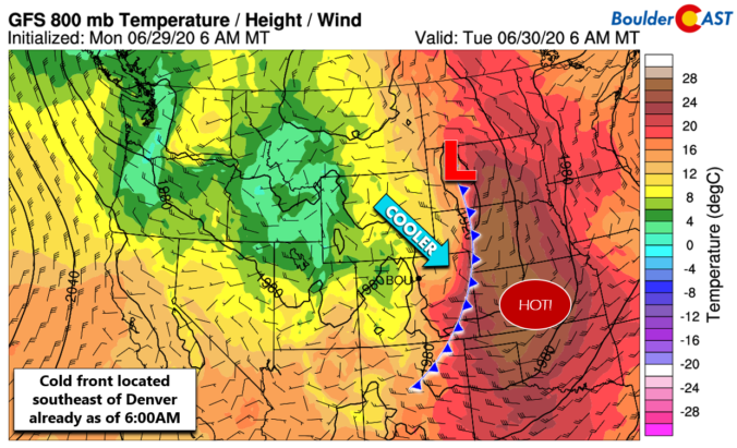
BoulderCAST Daily – Tue 06/30/20 | Cooler and gusty with isolated storms

TDetailed Forecast Discussion he current 500 mb map for the western United States looks a little ominous with a strong and cold cut-off low pressure spinning near Yellowstone National Park this morning. The view from GOES-East infrared is just as impressive. Fortunately the cut-off low has stalled and is not expected to push any further south in the coming days. …

BoulderCAST Daily – Sun 06/28/20 | Hot with 20% chance of a late-day storm

Detailed Forecast Discussion Little has changed from our weather forecast from yesterday. The warm southwest flow has entrenched itself further into the state today, with temperatures aloft rising to around 18degC. This should easily push us into the low to middle 90's across the Front Range. Morning sunshine will give way to a little more cloudiness as the trough to …

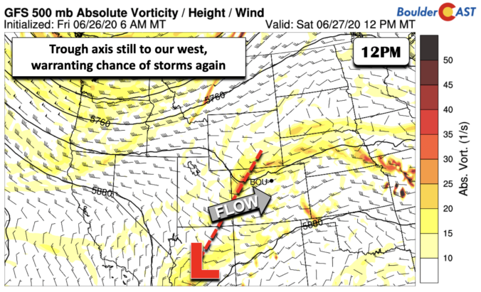
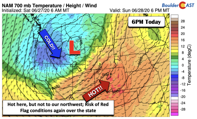
BoulderCAST Daily – Sat 06/27/20 | Warmer with scattered storms

Detailed Forecast Discussion Yesterday's storms were quite impressive, with almost all of the Front Range seeing the storminess. Today, the trough axis continues to remain to our west, currently draped over northwest Colorado into Arizona. The axis will finally pass through this evening, ushering in drier weather for tomorrow. Given that it still has to move through, we again have …

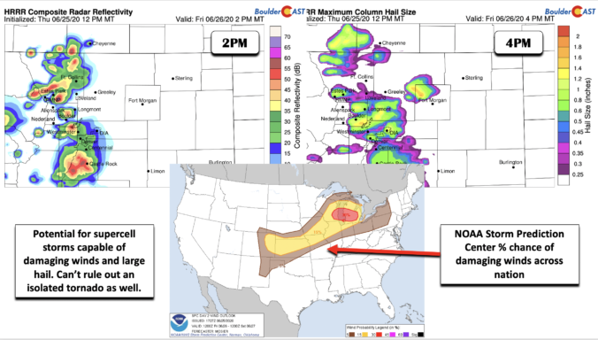
BoulderCAST Daily – Fri 06/26/20 | Supercell thunderstorms possible later today

Detailed Forecast Discussion Compared with yesterday, the atmosphere has changed drastically to allow for an enhanced threat of showers and thunderstorms, some of which we are expecting to be on the severe side. A cold front passed through the area late last night. It's current position is draped along the Foothills and southeastern Colorado. As a result, we will be …

BoulderCAST Daily – Thu 06/25/20 | Hot with isolated storms producing gusty winds

DDetailed Forecast Discussion id you see the thunderstorm last evening that produced a gusty outflow with wind gusts of 55+ MPH in eastern Boulder County as it died and rolled off the Foothills? A Severe Thunderstorm Warning, a fairly large one nonetheless, was issued for most of the northern and central Denver Metro area. This is probably the third time …

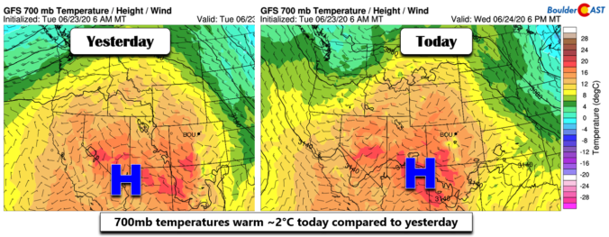
BoulderCAST Daily – Wed 06/24/20 | Getting warm with isolated storms

TDetailed Forecast Discussion he axis of a weak ridge is pushing across Colorado today with moderate warming noted aloft in the models over the Front Range. This will translate into highs several degrees above yesterday with most areas pushing into the upper 80's, with  perhaps a few spots cracking 90 degrees. The graphic below shows rainfall totals from yesterday; Boulder …

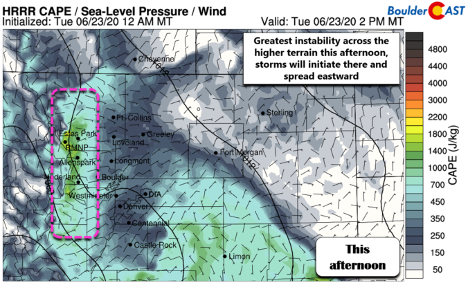
BoulderCAST Daily – Tue 06/23/20 | Seasonal with a few afternoon and evening storms

TDetailed Forecast Discussion he large-scale pattern has changed very little from yesterday with a ridge of high pressure to our west and a trough to the east. In-between, northwest flow will continue across Colorado as the ridge builds ever-so-slightly eastward today. We're still just on the very eastern edge of the ridge. Similar to yesterday, morning sunshine will transition to …

« Older posts Newer posts »