Category: BoulderCAST Daily (Page 15 of 372)
This page contains an index of our BoulderCAST Daily forecast updates. If you are NOT a Premium member, you will only see a tiny sample of this content below. Subscribe to BoulderCAST Premium to gain access to all of our daily forecasts which get published every morning.
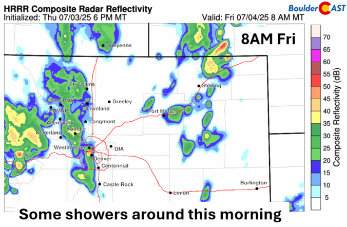
*Premium* BoulderCAST Daily – Fri 07/04/25 | Morning pockets of showers give way to isolated storm activity later for the 4th
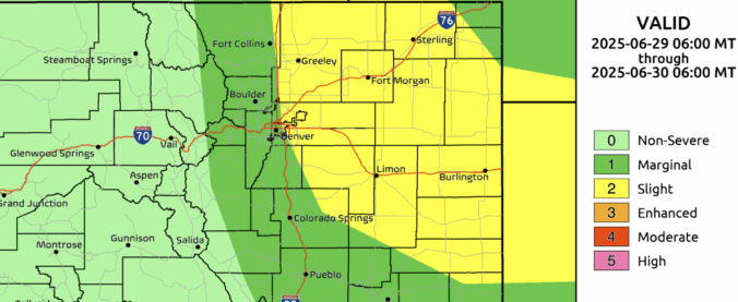
*Premium* BoulderCAST Daily – Sun 06/29/25 | Severe storms may fire Sunday afternoon along an uncertain cold front

*Premium* BoulderCAST Daily – Sat 06/28/25 | Hot & dry Saturday, still some questions regarding tomorrow’s cold front
© 2025 Front Range Weather, LLC

