Category: BoulderCAST Daily (Page 10 of 371)
This page contains an index of our BoulderCAST Daily forecast updates. If you are NOT a Premium member, you will only see a tiny sample of this content below. Subscribe to BoulderCAST Premium to gain access to all of our daily forecasts which get published every morning.

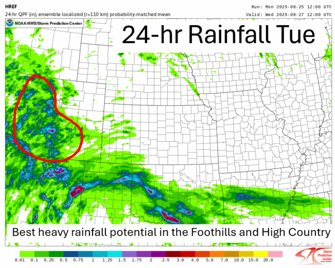
*Premium* BoulderCAST Daily – Tue 08/26/25 | Heavy rainfall in the cards again but the greatest risk is south/west of Denver
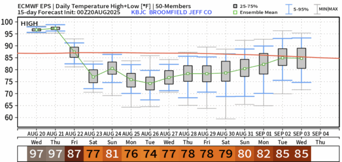
*Premium* BoulderCAST Daily – Wed 08/20/25 | Two more hot days, but there are hints of autumn in the extended
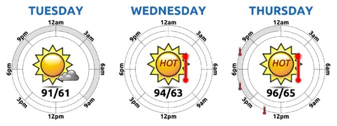
*Premium* BoulderCAST Daily – Tue 08/19/25 | Heat steadily intensifies through Thursday, but change is taking shape for the weekend
© 2025 Front Range Weather, LLC

