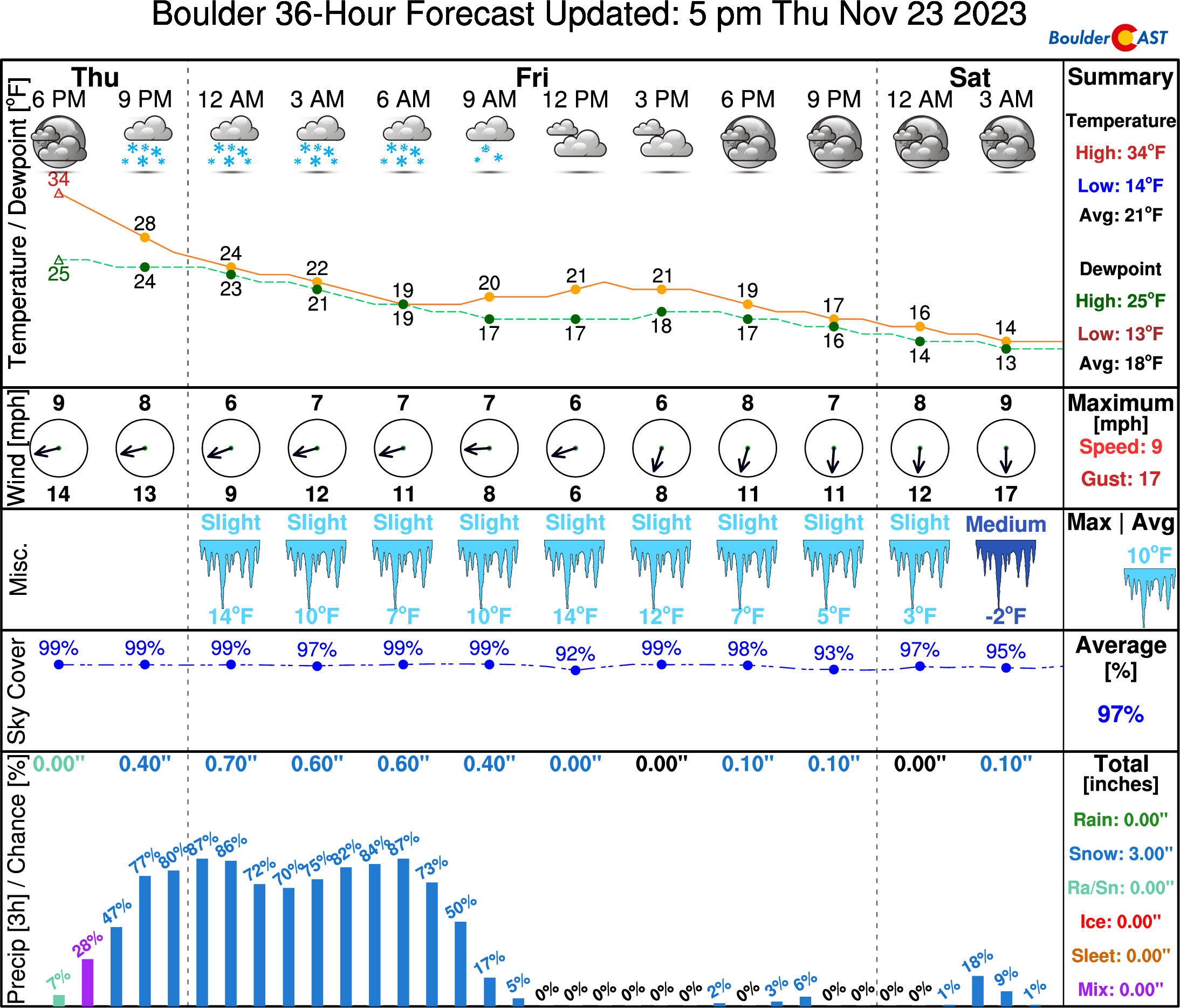
⦁❶⦁ Light snow continues until about midday, with 1-3 inches of additional accumulation possible
⦁❷⦁ Snow flurries around into early Saturday but little additional accumulation expected
⦁❸⦁ Highs stay very cold in the low 20s
T
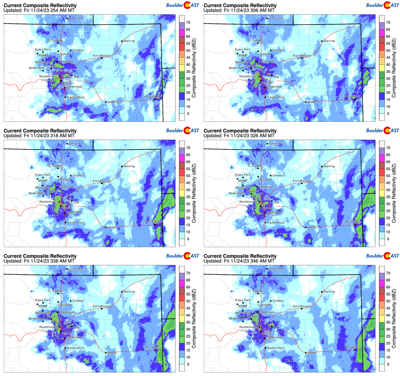
330 AM radar showed upslope snow stretching from western Denver into Boulder tied to an area of low pressure to our west. This batch of light snow will continue off and on into late morning to midday. Thereafter, only snow flurries are expected as the upslope component weakens. Highs will struggle to get out of the lower 20s under cloudy skies.
Our latest NowCAST product matches our latest thinking, with 1-3 inches of additional accumulation up until midday, then only snow flurries or cloudy skies this afternoon into early Saturday. Lows tonight will tumble into the low teens to single digits.
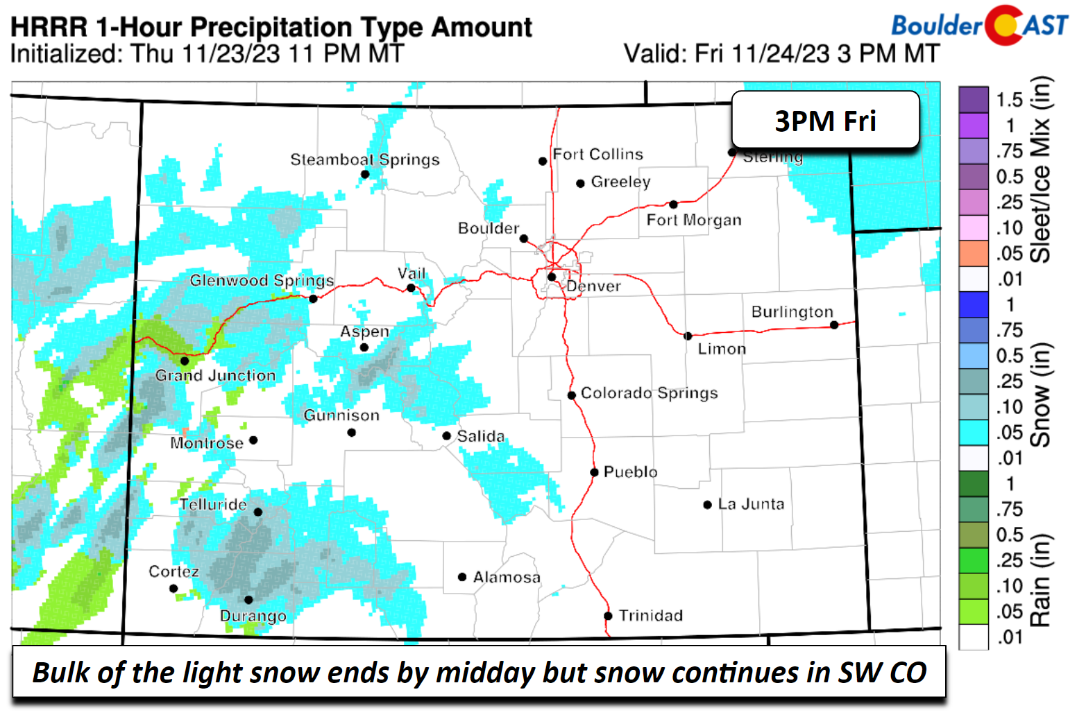
Snow will continue to fall in the west and southwest part of the state through about mid-morning Saturday, with several inches in the southwest mountains.


You must be logged in to post a comment.