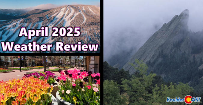
April 2025 was a mild and mostly dry month across the Front Range, with almost all of the precipitation coming via a mid-month snowstorm that blanketed Boulder in 8 inches of slop. Here’s a quick and colorful graphical recap of our weather during April and how it relates to climatology.
Author: BoulderCAST Team (Page 4 of 45)
This post had major contributions from at least two members of our team. The more meteorologists the better, right?
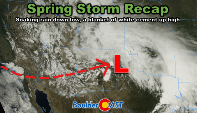
This week’s slow-moving spring storm drenched the Boulder-Denver area with widespread soaking rain, while elevations above 7,500 feet were blanketed in dense, heavy snow. As the storm begins to wind down, we take a look at how it unfolded and review the final rain and snow totals.
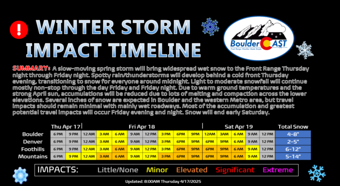
Our highly-anticipated winter storm is taking shape some 500 miles to our west Thursday morning. Change will begin across the Denver Metro area Thursday afternoon and evening with the arrival of a strong cold front. After an initial chance of isolated thunderstorms, we’ll change over to frozen precipitation fully by midnight and never look back, with light snow continuing well into Friday night. Despite lots of melting and compaction, a few to several inches of heavy wet snow are expected in Boulder and Denver, with significantly more in the nearby Foothills. We discuss the latest storm timeline, how much sloppy snow will stick, and what type of travel and vegetation impacts to expect from this late-season spring snowstorm.
Premium Storm Update (4/18/2025 8:30AM): Springtime snow is underway across the area with wet accumulations overnight up to 6 inches in the higher terrain (Estes Park) and up to 3.5 inches across the lower elevations (Boulder). We discuss the latest forecast details, including when we expect an uptick in snow coverage and intensity, how much more snow will accumulate, and when the flakes will come to an end. READ HERE
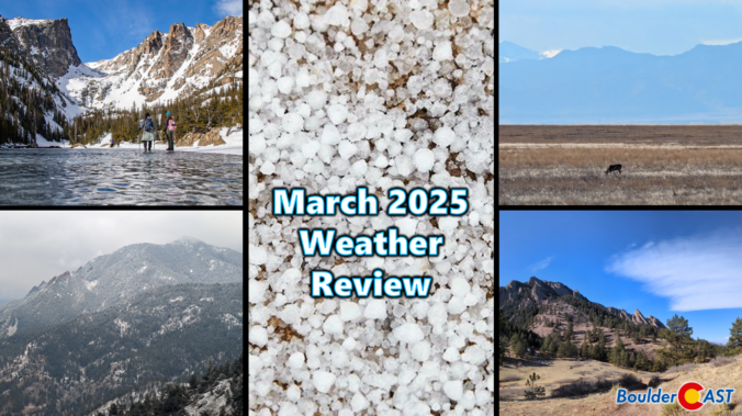
March 2025 was characterized by warm temperatures and largely dry conditions in the Front Range. The month saw a mix of seasonal weather patterns, including occasional gusty winds and a few minor snow events. While March finished as one of our all-time least snowy on record, the region experienced a much-needed deluge of rain during the final weekend of the month which will help to stave off drought for a little while longer. Here’s a quick and colorful graphical recap of our weather during March and how it relates to climatology.

Thanks to multiple rounds of steady rain, a hail-producing thunderstorm, and even a few snowflakes, Boulder has remarkably received about as much precipitation this weekend as we’ve seen in all of 2025 combined beforehand! We review the rain (and snow!) totals across the area and discuss briefly what unfolded over the last 36 hours during what was a rather atypical spring storm.
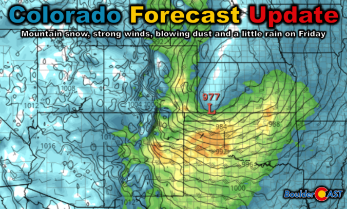
The well-advertised dip in the jet stream set to bomb out across eastern Colorado is still very much on-track to end the work week. The forecast for this springtime beast has remained largely unchanged since our last forecast update on Monday when we detailed that this monster storm would primarily be a wind-maker for us. We discuss which parts of Colorado will see the strongest winds, where the limited rain and snow will fall, and the ensuing mess this storm will cause as it races across the nation in the days ahead. Read on for the latest details.
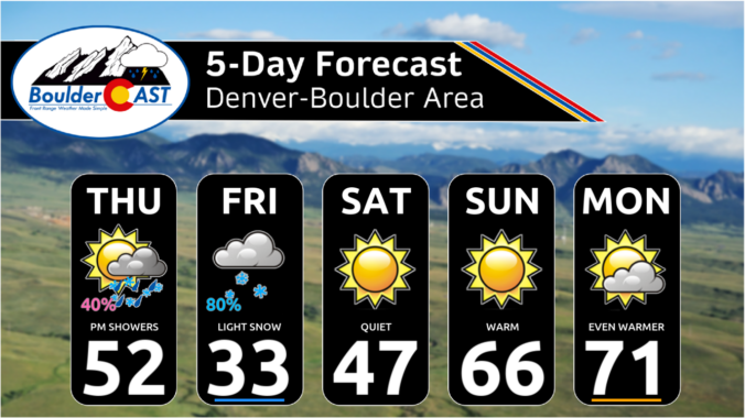
Two different low pressure systems will impact Colorado to end the work week, but unfortunately they will both largely miss the Front Range — one too far north and the other too far south. The Boulder-Denver area will still catch some light precipitation and colder temperatures, but potential snow accumulations are expected to be light and remain mostly west of Interstate 25 and in the Foothills. Things clear out nicely just in time for the weekend, with sunny skies and 70-degree temperatures not far off. Here’s the latest.

Last night’s quick-hitting snowstorm hit with a bang in the southwest Denver Metro area and southern Foothills, with locally heavy snowfall up to 20″ falling in parts of Jefferson County. Elsewhere, snow amounts fell well in-line with our forecast, including some Front Range cities not receiving a single snowflake! We review how the storm unfolded, the snow totals from across the region and look ahead to the remarkably warm and sunny weather about to take center stage.

Live View of Boulder

Current Conditions

Live Radar

Recent Premium Posts

BoulderCAST Daily – Fri 01/09/26| Snow ends quickly this morning with a quieter weekend in store
❄️ Overnight snow bands: A second push of upslope after midnight sparked narrow …
BoulderCAST Daily – Thu 01/08/26 | Snow develops today but still some uncertainty, amounts have been lowered
❄️ Snow develops today: Snow develops today, but uncertainty still lingers with two …
BoulderCAST Daily – Wed 01/07/26 | Quiet today but snowflakes are on the horizon tomorrow
⛅ Quiet Weather Today: Highs will be mild in the upper 50s in …
3-Day Forecast

Trending Content

© 2026 Front Range Weather, LLC