

Author: Ben Castellani (Page 339 of 358)
Ben grew up in southwestern Pennsylvania and holds both a bachelor's and a master's degree in Meteorology, the latter being from CU Boulder. His hometown received nearly three feet of snow from the Storm of the Century back in March of 1993, sparking his initial interest in impactful weather. Ben currently works on remote sensing and data analysis software at NV5 Geospatial Software in Boulder.

You’re favorite weather forecasting service is getting even better! We’re adding new site functionality and even more of the content you love. We’re excited to announce BoulderCAST Premium, our new subscription-based platform for weather enthusiasts and casual followers alike. Read on for all the details and learn how you can get the very best of BoulderCAST!
Mostly sunny and warm. Continue reading for today’s full forecast.
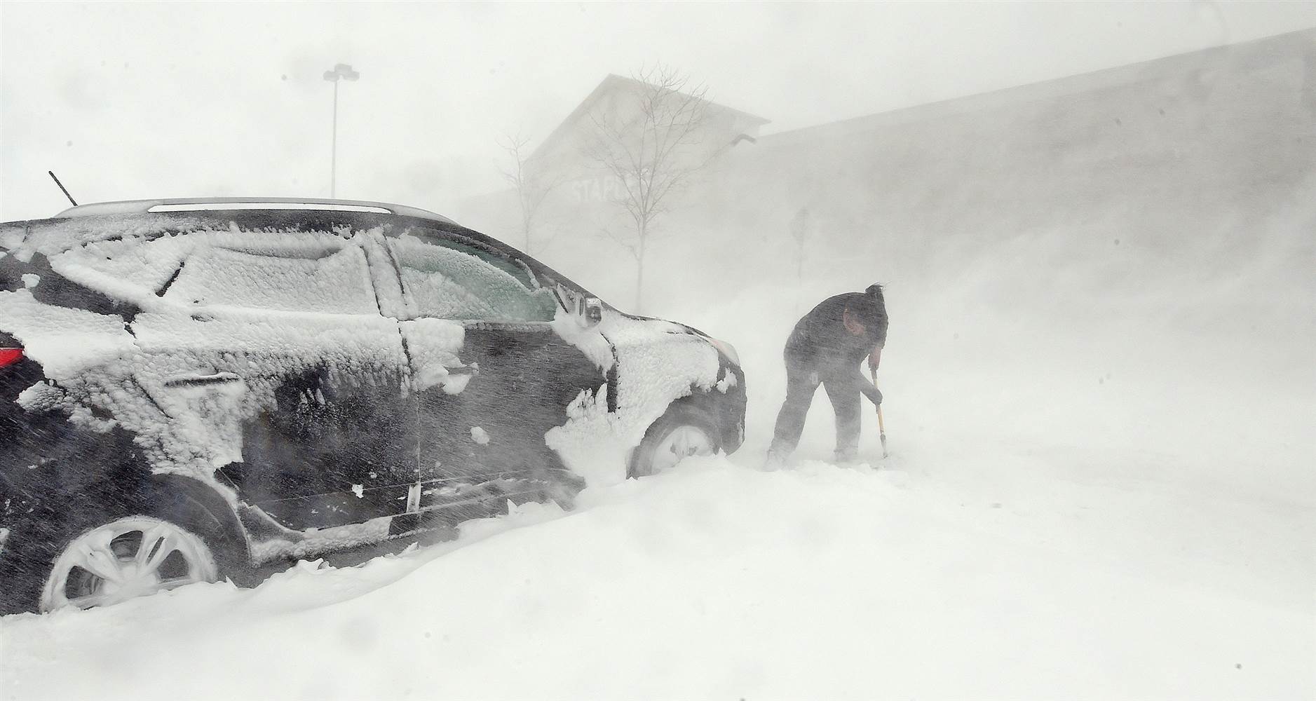
We recap last week’s two snow events, examine where March 2016 fits into Boulder’s history, and look forward to what’s shaping up for April.
Slightly warmer than yesterday and just as sunny. Continue reading for today’s full forecast.
Live Radar

Trending Content


Recent Premium Posts

BoulderCAST Daily – Sun 11/15/26 | Morning Fog Gives Way to a Warmer Stretch of Weather
🌫️ Fog Disperses — Morning low clouds and fog exit, with sunshine in …
BoulderCAST Daily – Sat 11/14/26 | A Pair of Foggy Mornings With Little Rain
🌫️ A Pair of Foggy Mornings — Moisture banked up along the Foothills …
BoulderCAST Daily – Fri 11/13/26 | Quiet Today But Turning Unsettled Tomorrow
☀️ Quiet Today — Sunshine and low to middle 60s across the Front …
© 2026 Front Range Weather, LLC
You must be logged in to post a comment.