

Author: Ben Castellani (Page 335 of 358)

Ben grew up in southwestern Pennsylvania and holds both a bachelor's and a master's degree in Meteorology, the latter being from CU Boulder. His hometown received nearly three feet of snow from the Storm of the Century back in March of 1993, sparking his initial interest in impactful weather. Ben currently works on remote sensing and data analysis software at NV5 Geospatial Software in Boulder.

How did our 2015-2016 snowfall forecasts turn out in your location?

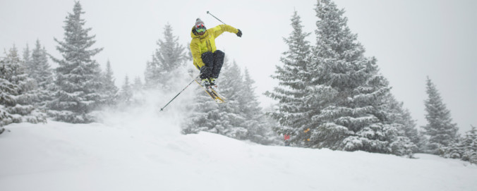
With a bulk of this winter’s snowfall now behind us, we’d like to take a moment to review the outcomes of our snowfall forecasts. From the early-season storm that flew completely under the radar, to the epic blizzards in late February and mid-March, it was a great year for powder across the Front Range! From the good, to the bad, to the downright ugly, we crunch the numbers to see how well our snowfall forecasts verified throughout the Denver Metro area across the entire winter season.

Continue reading

DayCAST: Wed 04/27/16

With a bit of downslope flow across the region today, we'll see more drying and sun compared to previous days. The downslope can be seen in the NAM 500 mb vorticity map for this evening. Notice the northwesterly flow aloft on the backside of the system in Nebraska. You will also notice our next weather system in California. Associated with this …

DayCAST: Tue 04/26/16

Today will be similar to yesterday. The storm system of interest will be centered over northwest Colorado this afternoon. The best lift for precipitation will once again remain west and north of our region (like yesterday). However, we'll be situated in the "warm" and convective sector of the storm, so we can't fully rule out some showers across the region today. The best …

DayCAST: Sun 04/24/16

The trough that brought the gusty winds last night and a sprinkle of rain is already moving out of the region (seen below centered over the Dakotas). In its wake, a tiny shortwave ridge builds in this afternoon. The cold air and energy associated with the trough only clipped our region.  Notice how relatively warm air rebuilds across the eastern part of …

DayCAST: Sat 04/23/16

Yesterday's high was 82 degrees in North Boulder...our warmest day thus far in 2016! We'll be a tad cooler today as a trough approaches from the west, just skirting the northern portion of Colorado this evening. Ahead of the trough, strong southwesterly winds will be in place across the region. Gusts up to 50 mph will be possible during the afternoon …

« Older posts Newer posts »