

Author: Ben Castellani (Page 320 of 358)
Ben grew up in southwestern Pennsylvania and holds both a bachelor's and a master's degree in Meteorology, the latter being from CU Boulder. His hometown received nearly three feet of snow from the Storm of the Century back in March of 1993, sparking his initial interest in impactful weather. Ben currently works on remote sensing and data analysis software at NV5 Geospatial Software in Boulder.
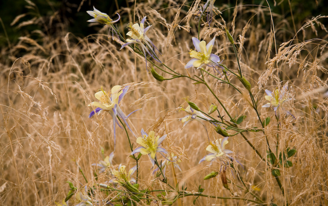
Summer is the one time of year when you don’t need us meteorologists. You already know the weather for today (and everyday) will start sunny, warm into the 90’s, then promptly cloud up and produce a brief storm which generates a “just okay” rainbow before another stunning Colorado sunset. If it feels like we’ve been enjoying a much nicer, less rainbow-filled summer than normal, you’re not alone, nor imagining things. It’s been dry. Historically dry.
We discuss the official return of drought to Colorado and provide our thoughts on the outlook heading into September.
As we rapidly sprint towards the end of meteorological summer and the conclusion of Colorado’s wet season, the weather for the week ahead will not sway much from what we have come to expect. Chances of rain will be there, but not substantial. We’re also tracking yet another fall-like cool-down just in time for the weekend. Continue reading for our outlook for the upcoming week.
Live Radar

Trending Content


Recent Premium Posts

BoulderCAST Daily – Sun 11/15/26 | Morning Fog Gives Way to a Warmer Stretch of Weather
🌫️ Fog Disperses — Morning low clouds and fog exit, with sunshine in …
BoulderCAST Daily – Sat 11/14/26 | A Pair of Foggy Mornings With Little Rain
🌫️ A Pair of Foggy Mornings — Moisture banked up along the Foothills …
BoulderCAST Daily – Fri 11/13/26 | Quiet Today But Turning Unsettled Tomorrow
☀️ Quiet Today — Sunshine and low to middle 60s across the Front …
© 2026 Front Range Weather, LLC