


Sun, heat, wind, and a few storms. Read on as we provide a quick, to-the-point forecast for the upcoming holiday weekend for the Plains and higher elevations.
Author: Ben Castellani (Page 318 of 358)
Ben grew up in southwestern Pennsylvania and holds both a bachelor's and a master's degree in Meteorology, the latter being from CU Boulder. His hometown received nearly three feet of snow from the Storm of the Century back in March of 1993, sparking his initial interest in impactful weather. Ben currently works on remote sensing and data analysis software at NV5 Geospatial Software in Boulder.
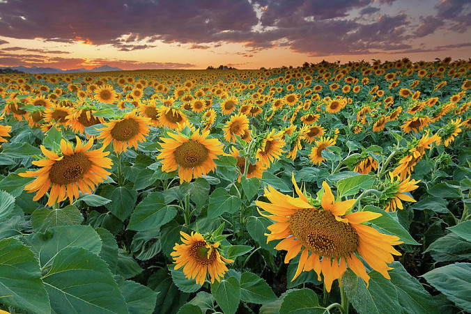
Let us be the first to welcome you to fall! That’s right…summer is no more, at least to us weather folks. September 1st marks the beginning of meteorological autumn. Picture-perfect weather has been a mainstay throughout the summer, which is both good and bad. The monsoon plume has largely been confined to our south and west, keeping the Front Range relatively parched, leading to dry and at times, dangerous fire conditions. Will this trend continue into September? Read on as we examine Boulder’s climatology and consider the current state of the atmosphere to give our outlook for next month.
The atmosphere over the last several weeks has been transient across the western United States, with frequent (but weak) systems always keeping us on our toes. We haven’t had an extended period of persistent weather in quite some time. That changes this week as a ridge builds in across the region, bringing a sense of consistency to the forecast once again. Be that as it may, the ridge won’t bring entirely dry and sunny weather. Read on for our full outlook of the week ahead.
Live Radar

Trending Content


Recent Premium Posts

BoulderCAST Daily – Sun 11/15/26 | Morning Fog Gives Way to a Warmer Stretch of Weather
🌫️ Fog Disperses — Morning low clouds and fog exit, with sunshine in …
BoulderCAST Daily – Sat 11/14/26 | A Pair of Foggy Mornings With Little Rain
🌫️ A Pair of Foggy Mornings — Moisture banked up along the Foothills …
BoulderCAST Daily – Fri 11/13/26 | Quiet Today But Turning Unsettled Tomorrow
☀️ Quiet Today — Sunshine and low to middle 60s across the Front …
© 2026 Front Range Weather, LLC