Author: Ben Castellani (Page 23 of 358)

Ben grew up in southwestern Pennsylvania and holds both a bachelor's and a master's degree in Meteorology, the latter being from CU Boulder. His hometown received nearly three feet of snow from the Storm of the Century back in March of 1993, sparking his initial interest in impactful weather. Ben currently works on remote sensing and data analysis software at NV5 Geospatial Software in Boulder.
Premium BoulderCAST Daily – Sun 01/11/26 | A mild Sunday with readings reaching the 50s

Sunday is shaping up to be a calm, pleasant day across the Front Range—quiet weather, light winds, and a slow warm‑up underway. The only real forecast wrinkle this morning is the lingering snowpack, now mostly confined to Boulder proper where a few inches still blanket the ground. Yesterday’s temperatures underperformed a bit thanks to that snowpack greedily absorbing the sun’s …

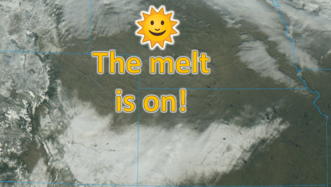
Premium BoulderCAST Daily – Sat 01/10/26| Widespread sunshine and moderating temperatures this weekend as our recent snow melts off

Saturday is shaping up to be a calm, almost serene day along the Front Range—an abrupt change of pace after the back‑to‑back storm systems that delivered our Thursday–Friday snowfall. Those storms are now well off into the Plains, but their signature remains etched across the landscape. GOES‑East imagery this morning shows a striking “white scar” draped across southeast Colorado and …

Premium BoulderCAST Daily – Fri 01/09/26| Snow ends quickly this morning with a quieter weekend in store

After Thursday’s bout of wet, slushy snow—more nuisance than accumulation for most—the atmosphere found just enough instability overnight to squeeze out a surprise encore. A secondary push of colder upslope arrived after midnight, sharpening the lift along the Front Range and allowing narrow but intense snow bands to blossom before dawn. These bands have been drifting across the region through …

Premium BoulderCAST Daily – Thu 01/01/26| Mild but overcast across the lower elevations as a long-duration light snow event begins in the Mountains

We’re kicking off 2026 with a surge of deep subtropical moisture pushing into the Four Corners from the southwest. The result is a solid deck of mid‑level clouds parked over the state—GOES-East infrared imagery is basically showing wall‑to‑wall cloud cover across Colorado this morning. Even with the blanket of clouds, the surface pattern hasn’t changed much since yesterday. The Front …

Premium BoulderCAST Daily – Wed 12/31/25 | A calm and mild finish to 2025, with more of the same heading into 2026

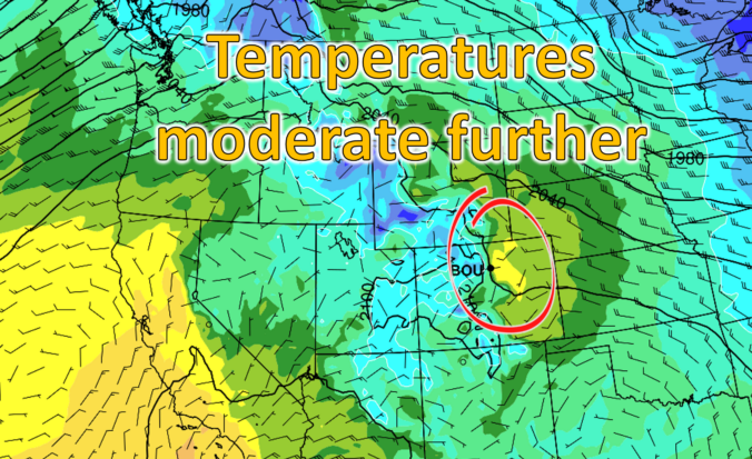
Our recent taste of winter is nothing but a distant memory already with warm weather set to return today and last through the upcoming weekend. A sluggish ridge of high pressure is spreading over the Rockies, and it’s already nudging us toward another day that feels more like early spring than late December. Expect highs in the upper 50s to near …

Premium BoulderCAST Daily – Tue 12/30/25 | Sunshine continues as temperatures trend up

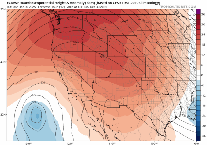
We’re heading into our second straight sunny, seasonable day along the Front Range as we sit in a quiet gap between storm systems. A ridge of high pressure parked along the West Coast is steering dry northwest flow into Colorado, keeping conditions calm and stable for now. A few clouds are spinning over the top of the ridge across Montana …

« Older posts Newer posts »