Author: Ben Castellani (Page 20 of 358)

Ben grew up in southwestern Pennsylvania and holds both a bachelor's and a master's degree in Meteorology, the latter being from CU Boulder. His hometown received nearly three feet of snow from the Storm of the Century back in March of 1993, sparking his initial interest in impactful weather. Ben currently works on remote sensing and data analysis software at NV5 Geospatial Software in Boulder.

Premium This Weekend in Colorado Weather: Light snow Friday ahead of a peaceful weekend, but a renewed stretch of wind and fire risk looms next week

We had early indications last evening that the forecast was beginning to unravel. Frontal snow bands—initially expected to remain well north of the Denver/Boulder corridor—were instead pushing as far south as Loveland, Lyons, and even Niwot as the compact shortwave disturbance crossed northern Colorado. This southward displacement was the first sign that the system’s track was shifting. Ultimately, the disturbance …

Premium BoulderCAST Daily – Wed 02/18/26 | Mountain snow continues today while Boulder braces for a downslope windstorm tonight

Colorado is gearing up for several more days of active, unsettled weather as a broad longwave trough continues to hang over the western United States. The main axis of this system has now pushed onshore, stretching from Washington down through southern California. Out ahead of this trough, a deep plume of moisture and a cluster of small disturbances are streaming …

Premium BoulderCAST Daily – Tue 02/17/26 | A high impact day of weather throughout Colorado with heavy Mountain snow, strong winds, blizzard conditions, and critical fire danger!

Today marks the beginning of what will be an active, high‑impact stretch of weather across all of Colorado—heavy Mountain snowfall, strong winds, and elevated fire danger depending on which side of the Divide you call home. Our storm system is assembling nicely this morning across the western U.S., with a broad longwave trough and parent low still anchored just offshore …

Premium This Weekend in Colorado Weather: Late-week Mountain snow and lower elevation rain chances transition into another warm and dry weekend

GOES‑West imagery early this morning shows the narrow subtropical moisture plume sliding off to our south and east, with the richest feed now aimed into New Mexico and far southeast Colorado. The integrated vapor transport (IVT) field—our go‑to metric for diagnosing atmospheric rivers—confirms this shift. Euro guidance highlights the core of the river displaced well away from the Front Range, …

Premium BoulderCAST Daily – Wed 02/11/26 | Atmospheric river fuels Mountain snow while Boulder stays mild & mostly dry

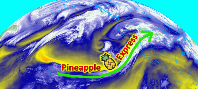
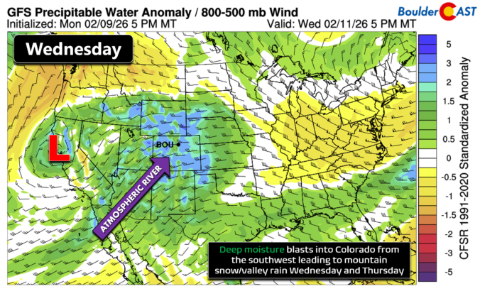
The hose of subtropical moisture is locked onto the southwestern United States this morning as a weak atmospheric river feeds into the region. GOES‑West water vapor imagery over the eastern Pacific clearly shows the moisture plume arcing from the Hawai‘ian Islands straight into the Front Range. With that firehose pointed our way, the Mountains statewide are in for a healthy …

Premium BoulderCAST Daily – Tue 02/10/26 | Much cooler for our Tuesday with rain/snow arriving into the Mountains by Wednesday morning

After Boulder and Denver soared into the lower 70s yesterday—our warmest reading since Christmas—the pattern has finally snapped. A shallow but effective cold front slid through just before 11 PM Monday night, putting an end to the long‑running stretch of unseasonably warm, dry weather along the Front Range. Early this morning, low stratus has pooled up against the Foothills, draping …

« Older posts Newer posts »