

Author: Ben Castellani (Page 193 of 358)
Ben grew up in southwestern Pennsylvania and holds both a bachelor's and a master's degree in Meteorology, the latter being from CU Boulder. His hometown received nearly three feet of snow from the Storm of the Century back in March of 1993, sparking his initial interest in impactful weather. Ben currently works on remote sensing and data analysis software at NV5 Geospatial Software in Boulder.

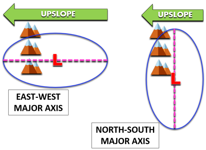
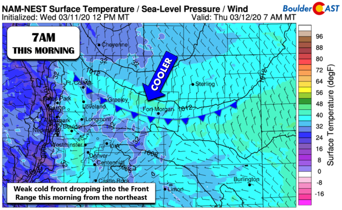
⦁❶⦁ Shallow upslope this morning produces widespread low clouds, patchy fog/drizzle
⦁❷⦁ Mostly cloudy through the day, highs in the low to middle 50’s
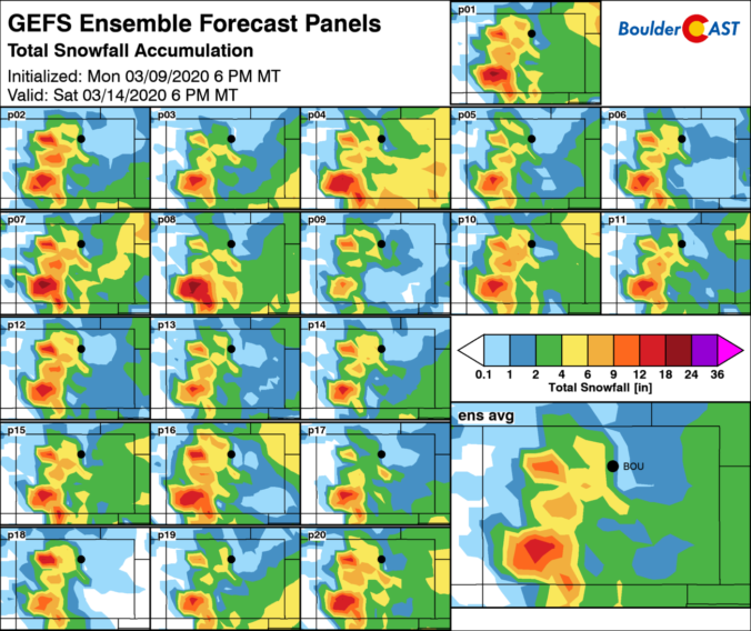
⦁❸⦁ The weather models remain consistent for the rain to snow event later this week
⦁❹⦁ Increasing confidence for heavy snow across Front Range, but several inhibiting factors will limit accumulation

It’s business as usual to start the week with continued mild conditions through Wednesday. However, we are keeping close tabs on a developing winter storm later this week. It’s a complex system to say the least and our confidence in the forecast is low right now, but we could be talking up to a foot of snow in some portions of the Metro area by Friday morning. Read on for our complete outlook for the next five days.
Live Radar

Trending Content


Recent Premium Posts

This Weekend in Colorado Weather: The Quiet Pattern Ends as Storm Activity Picks Up Across the West
After weeks of sunshine, mild afternoons, and storm systems repeatedly missing Colorado to …
BoulderCAST Daily – Wed 11/11/26 | Mild Days Ahead, But There Are Signs of a More Active November Soon
☀️ Warm & Quiet — Sunshine dominates through Thursday with highs rising from …
BoulderCAST Daily – Tue 11/10/26 | Clouds Increase Today, But Colorado’s Dry Pattern Rolls On
🌤️ A Few More Clouds Today – Mountain wave clouds are developing along …
© 2026 Front Range Weather, LLC