

Author: Ben Castellani (Page 188 of 358)

Ben grew up in southwestern Pennsylvania and holds both a bachelor's and a master's degree in Meteorology, the latter being from CU Boulder. His hometown received nearly three feet of snow from the Storm of the Century back in March of 1993, sparking his initial interest in impactful weather. Ben currently works on remote sensing and data analysis software at NV5 Geospatial Software in Boulder.
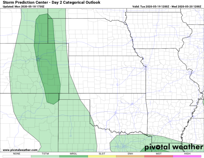
BoulderCAST Daily – Tue 05/19/20 | Near 90 with a slight chance of severe storms

Detailed Forecast Discussion: An impressive dipole pattern is present from west to east across the Rockies today with a strong trough of low pressure moving through Nevada and a potent ridge of high pressure across eastern Colorado and the western Great Plains. Between these two systems, a tight gradient is leading to brisk southerly flow through a deep layer of …

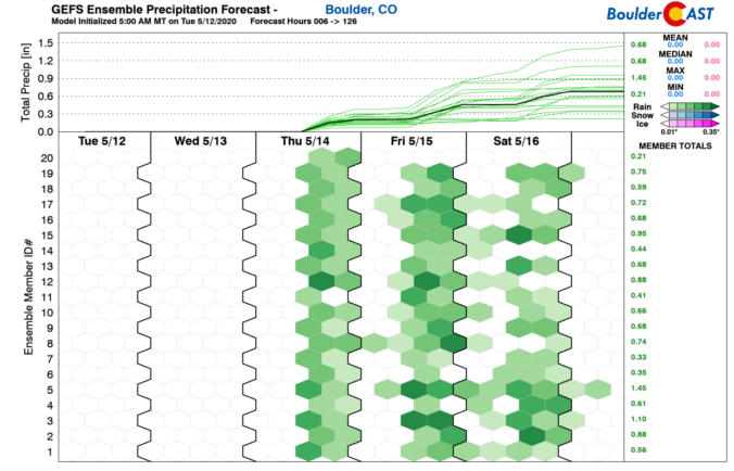
BoulderCAST Daily – Thu 05/14/20 | Afternoon/evening showers and storms

Detailed Forecast Discussion: Following last night's cool frontal passage, the stage is set for scattered to widespread showers and storms to develop today as a shortwave disturbance passes across Colorado during peak heating. The NAM 500 mb vorticity animation below shows the energy embedded in the southwest flow moving across the area. Moderate large-scale lift and dew points in the …

BoulderCAST Daily – Wed 05/13/20 | The warmer and drier airmass moves in

Detailed Forecast Discussion: Today will be much warmer with lower dew points due to an influx of southwesterly downslope flow across all of eastern Colorado. It will be some 10 to 15 degrees warmer this afternoon compared to yesterday with highs in the upper 70's . Today will most certainly be our warmest day of the week with another weak …

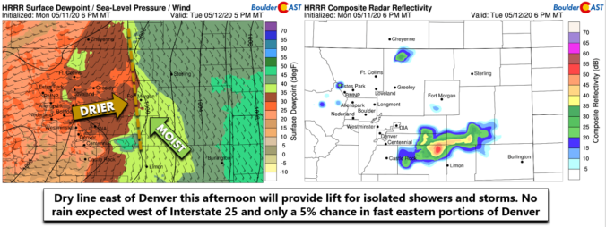
BoulderCAST Daily – Tue 05/12/20 | Foggy and cold early, improving conditions through the day

Detailed Forecast Discussion: Abundant low-level moisture, yesterday's rain showers, and light southeasterly flow has led to the development of fog and even some drizzle in spots overnight. The current view from our webcam at CU Boulder shows that the spring gloom is in full-force this morning. Temperatures are in the upper 30's, but the humidity actually makes it feel a …

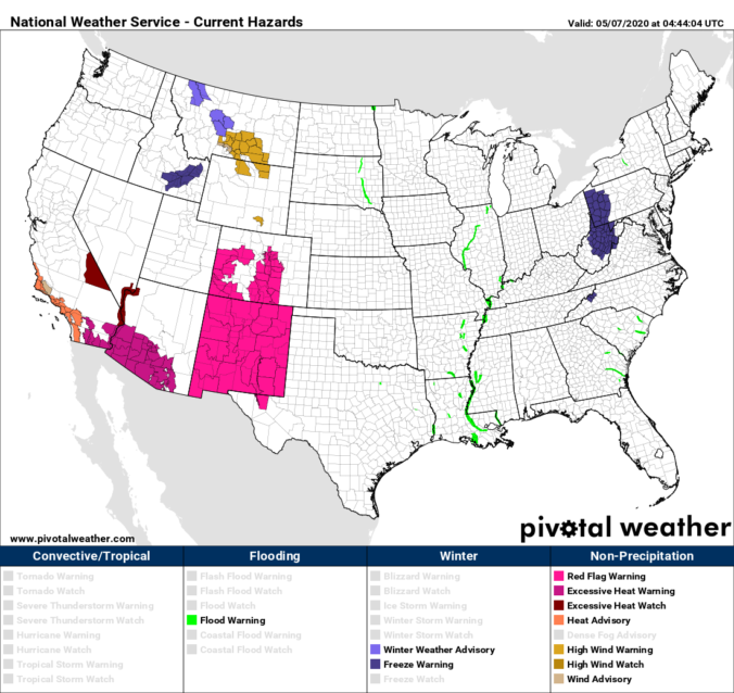
BoulderCAST Daily – Thu 05/07/20 | Sunny and gusty with high fire danger

Detailed Forecast Discussion: The tightly-wound low pressure we discussed yesterday will be moving across Wyoming today, just as expected. A combination of this unfavorable track which downslopes the Front Range and a lack of moisture means there will be no chance of precipitation for us. In fact, the entire state will likely miss out on any moisture from this system. …

BoulderCAST Daily – Wed 05/06/20 | Another nice day

Detailed Forecast Discussion: A welcomed but quick-moving ridge of high pressure will be moving across Colorado today at 500mb, shown below. This will facilitate another tranquil day with seasonable temperatures topping out in the low to middle 70's.  Expect sunshine this morning, but increasing clouds in the afternoon. By tomorrow, a decent shortwave trough will swing eastward across the northern …

« Older posts Newer posts »