


Author: Andy (Page 7 of 225)
Born and raised in St. Louis, Andrew obtained a Ph.D. in Atmospheric Science from the University of Colorado in 2015. From 2015 to 2020, he worked remotely in Boulder as an atmospheric scientist with NOAA's Atlantic Oceanographic and Meteorological Laboratory in Miami. Andy is now a full-time meteorologist.
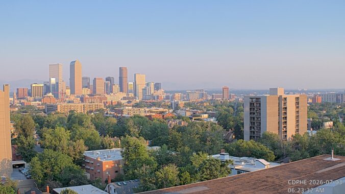

Live View of Boulder

Current Conditions

Live Radar

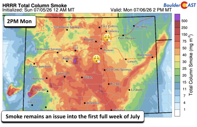
Latest Smoke Forecast

Recent Premium Posts

BoulderCAST Daily – Sun 10/18/26 | Warm and Sunny
☀️ Mild and dry into midweek — Highs hover in the low to …
BoulderCAST Daily – Sat 10/17/26 | A Quiet Stretch of Weather
☀️ A quiet stretch — Highs hover in the 70s well into the …
BoulderCAST Daily – Fri 10/16/26 | A Frozen Start Ends On A Warmer Note This Weekend
🥶 A frozen start to Friday ends pleasant — Freezing temperatures this morning …
3-Day Forecast

Trending Content



© 2026 Front Range Weather, LLC