Author: Andy (Page 36 of 184)
Born and raised in St. Louis, Andrew obtained a Ph.D. in Atmospheric Science from the University of Colorado in 2015. From 2015 to 2020, he worked remotely in Boulder as an atmospheric scientist with NOAA's Atlantic Oceanographic and Meteorological Laboratory in Miami. Andy is now a full-time meteorologist.
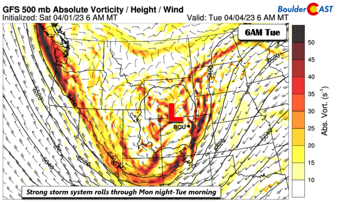
Following another elevated fire danger day on Monday, a late-season snowstorm will trek from the Rockies into the Dakotas in the coming days. While the brunt of this massive winter storm will be felt in the Mountains and well to our north in Wyoming, there are enough ingredients coming together to bring light snow to the Front Range during this time as well. Another chance of snow may develop on Wednesday. Unseasonably cold temperatures will transition back above normal by week’s end with a warm and dry outlook shaping up for much of the extended.
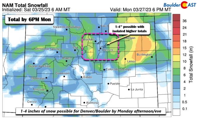
BoulderCAST Daily – Sun 03/26/23 | Snow developing late tonight into Monday; accumulating snow likely
© 2024 Front Range Weather, LLC

