Author: Andy (Page 34 of 184)
Born and raised in St. Louis, Andrew obtained a Ph.D. in Atmospheric Science from the University of Colorado in 2015. From 2015 to 2020, he worked remotely in Boulder as an atmospheric scientist with NOAA's Atlantic Oceanographic and Meteorological Laboratory in Miami. Andy is now a full-time meteorologist.
After a cool and wet weekend, this week starts out with a trend toward the drier and warmer side as a departing trough will give way to ridging across the Rockies. While chances of showers and storms will exist each and every day, the best chance won’t arrive until later in the week as a cold front and deep trough dig down from the north on Thursday. This front could also bring the threat of heavy rainfall, flash flooding, and a slight risk of severe weather to eastern Colorado. Temperatures will tumble back below normal to end the week.
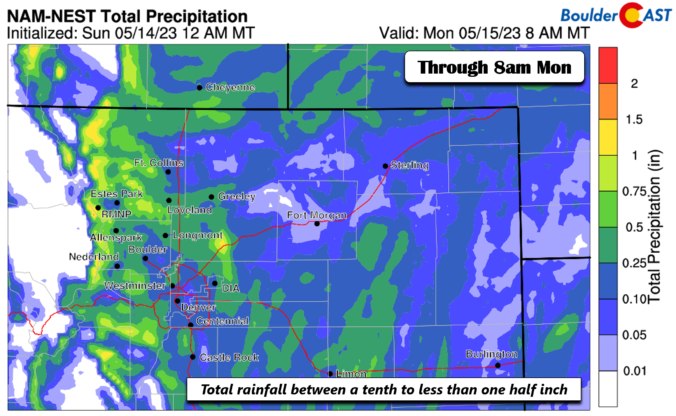
BoulderCAST Daily – Sun 05/14/23 | Periods of light showers through early Monday with highs in the 50s to near 60
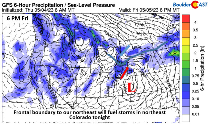
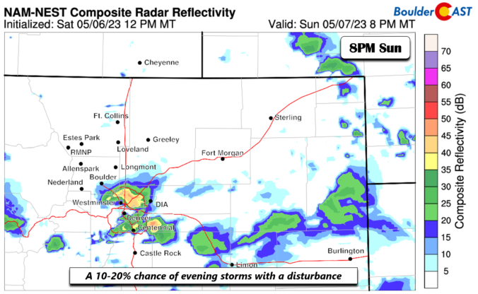
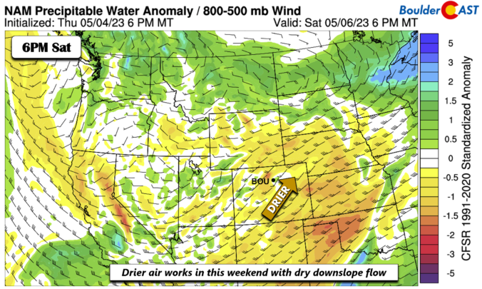
BoulderCAST Daily – Fri 05/05/23 | Low to mid 70s with a 10-20% chance of early evening storms and gusty winds
© 2024 Front Range Weather, LLC

