Author: Andy (Page 22 of 205)
Born and raised in St. Louis, Andrew obtained a Ph.D. in Atmospheric Science from the University of Colorado in 2015. From 2015 to 2020, he worked remotely in Boulder as an atmospheric scientist with NOAA's Atlantic Oceanographic and Meteorological Laboratory in Miami. Andy is now a full-time meteorologist.

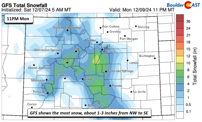
*Premium* BoulderCAST Daily – Sat 12/07/24 | Mild for a few more days, then return of the cold Monday

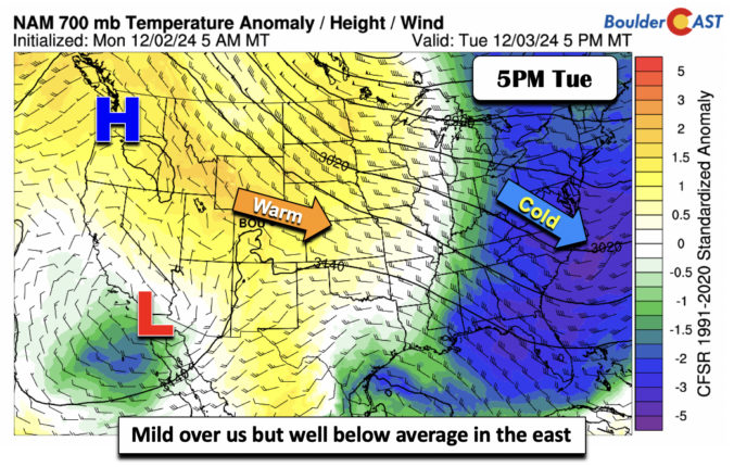
*Premium* BoulderCAST Daily – Wed 12/04/24 | A touch cooler behind a cold front; watching our next snow chance
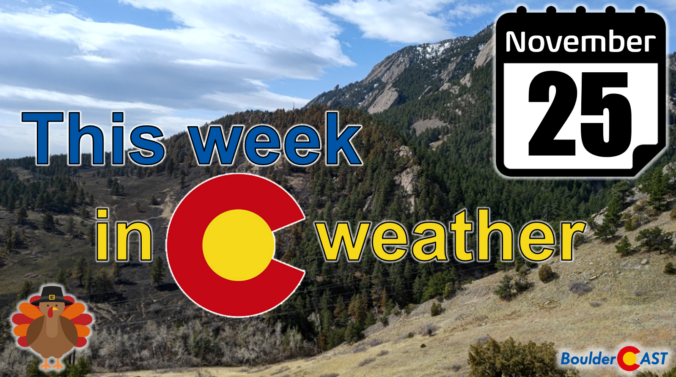
As we enter Thanksgiving week, Colorado is bracing for a significant weather event fueled by a strong atmospheric river flowing in from the west. A potent storm system is set to sweep through the region Tuesday into Wednesday, delivering widespread heavy snowfall to the Mountains with significant disruption to travel expected. Meanwhile, the Boulder-Denver Metro area faces a more uncertain forecast with varying snowfall predictions due to warm initial temperatures and questionable upslope. Despite the midweek forecast challenges, we can all at least look forward to a definitively quiet but chilly Thanksgiving Day. Read on for a complete outlook of the weather week ahead.
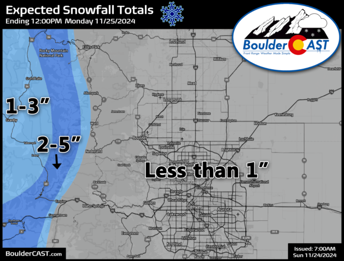
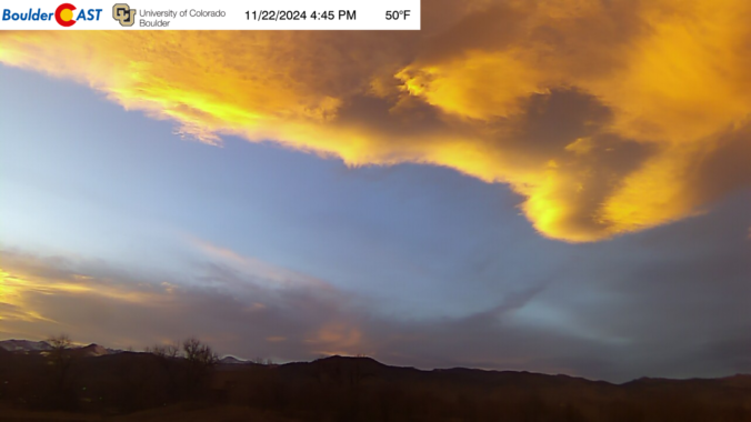
*Premium* BoulderCAST Daily – Sun 11/24/24 | Cooler with patchy light snow possible tonight; potentially more impactful snow brewing for midweek (Updated)
© 2025 Front Range Weather, LLC

