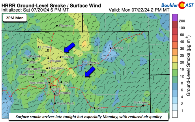
An upper-level trough axis stretching from northwest to southeast will track through from the north this afternoon and evening. Along with a northeast upslope flow at the surface and high dewpoint air (mid to upper 50s), this will fuel scattered shower and storm development once again into mid to late evening. The area to watch for flash flooding would be …
Born and raised in St. Louis, Andrew obtained a Ph.D. in Atmospheric Science from the University of Colorado in 2015. From 2015 to 2020, he worked remotely in Boulder as an atmospheric scientist with NOAA's Atlantic Oceanographic and Meteorological Laboratory in Miami. Andy is now a full-time meteorologist.