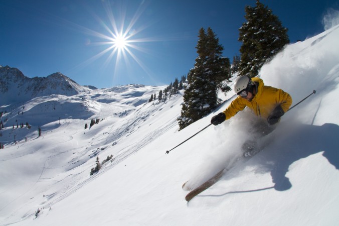
After this current strong upper level low pressure system exits this weekend, the week ahead will continue to feature an active storm track. That will mean we should continue to see chances for snow in the high country, which is sure to satisfy the late season skiers!
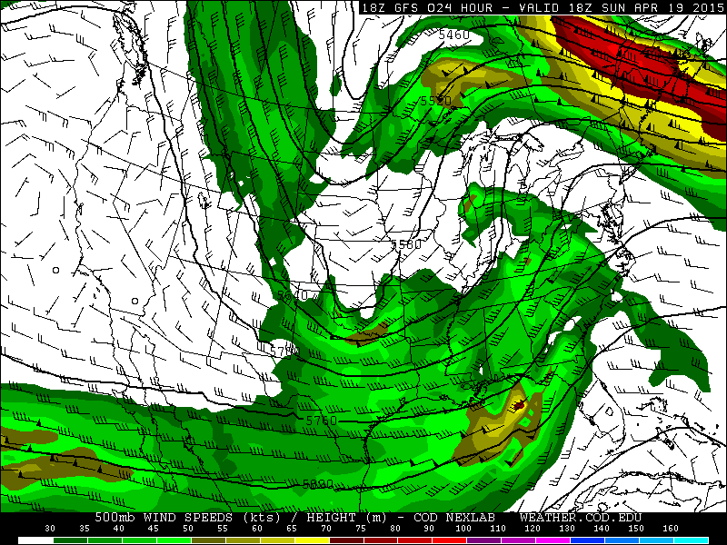
The current upper level low pressure system over Colorado which has brought 2-3 feet of new snow to the high country this weekend will make way for excellent skiing conditions this Saturday and Sunday. With northwesterly flow continuing over the high country through Monday, leading to upslope flow in the mountains, there will likely be off and on snow showers through the weekend. The below figure shows the 500 mb pressure level map from the GFS on Sunday. The wind barbs on the map show that the flow will be northwesterly over the high country. With moisture already in place, this will lead to off and on snow showers in the mountains.
This will definitely be a powder weekend for any of you headed up! As of today, here are the current snow totals for some of the ski resorts still open. Several locations have a base over 60″, which is excellent!
- Winter Park: 12″ in last 24 hours, 62″ base. Skiing ends April 26th
- Copper Mountain: 11″ in last 48 hours, 70″ base. Closes this Sunday the 19th
- Loveland: 15″ in last 24 hours, 71″ base. Closes early May
- Vail: 1″ last 24 hours, 39″ base. Closes this Sunday the 19th
- Arapahoe Basin: 8″ in last 24 hours, 49″ base. Closes early June
These ski resorts will pick up several more inches of snow tonight and Saturday, with the favored areas being Winter Park, Loveland, Copper, and Arapahoe Basin under the northwesterly flow. These areas could easily see another foot of powder before tapering off later Monday.
Next week’s outlook:
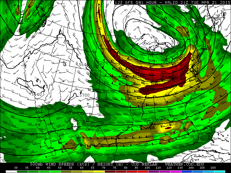
Early next week will feature a weak ridge of high pressure building in from the west for Tuesday and Wednesday. The below map shows the 500 mb pattern for Tuesday afternoon, with a weak ridge over Colorado. The upper level trough shifts east of Colorado, over the Midwest and Great Lakes region. This will lead to tranquil conditions in the mountains.
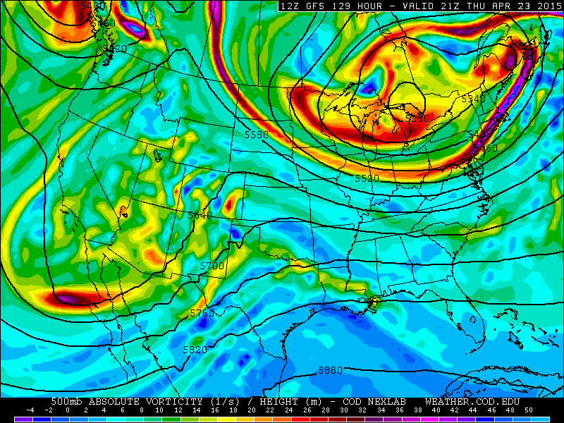
The latter part of the week looks interesting and has the potential for producing more snow for the high country. A large trough will carve out across California and dig southeastward into Colorado Thursday and Friday. It is still too far out to get into details, but the 500 mb vorticity and upper level pattern map below shows the potential storm for Thursday. The large trough over California will lead to divergence and lift for the potential to bring more snow to the ski resorts. This storm would also likely bring snow and precipitation to California, which is drastically needed for their drought. The prime days for powder next week should be Friday and Saturday. Stay tuned!


You must be logged in to post a comment.